Flood Bond, MAAPnext Updates Show Projects Slowing
Two new updates provided to Harris County Commissioners on Tuesday 8/2/22 show progress on the 2018-flood-bond and MAAPnext slowing compared to previous estimates.
Flood-Bond Progress
In many ways, the Harris County Flood Control District (HCFCD) Flood-Bond Progress Reports are a model of government transparency. They provide detailed information, even when the news is not all good. The most recent flood-bond update showed that HCFCD:
- Awarded one more construction contract during July. The count increased from 46 to 47.
- Awarded 5 new agreements, down from 11 the previous month.
- Spent only $8 million on bond projects including:
- $1 million dollars in grant money – $368 million total up from $367 million the previous month.
- $6 million in bond funds – $551 million total up from $545 the previous month.
- $1 million in local funds – $141 million total up from $140 million the previous month.
- Completed 0.2% more of the projects in the bond – 22% up from 21.8%.
- Finished 21 more buyouts – 802 up from 781.
- Stayed at .97 on the Key Performance Indicator Scale – slightly behind schedule.
Step by Step, Project by Project
Updates also show the progress of each bond project in the form of detailed GANNT charts. Check pages 4-9 to see projects in your watershed.

Watershed by Watershed
The next two pages show the amounts spent and funded to date in each watershed. These maps give readers a good idea of where the money goes. Draw your own conclusions and remember the map below when certain politicians tell you some watersheds don’t get anything.

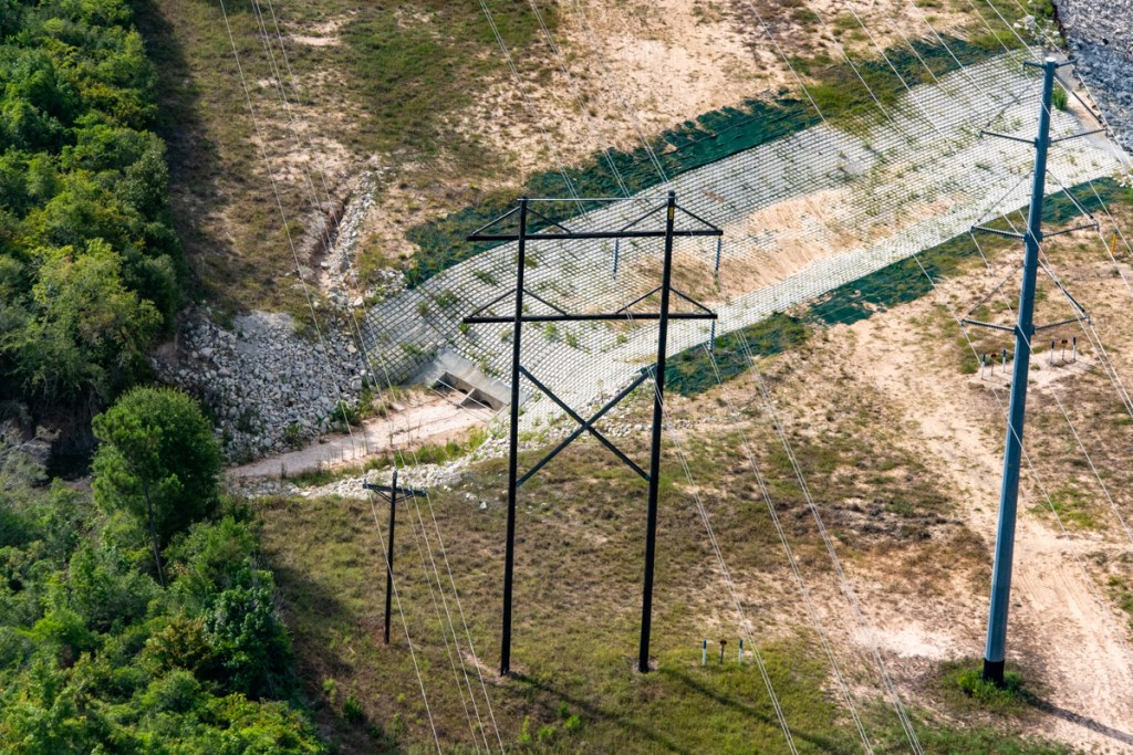
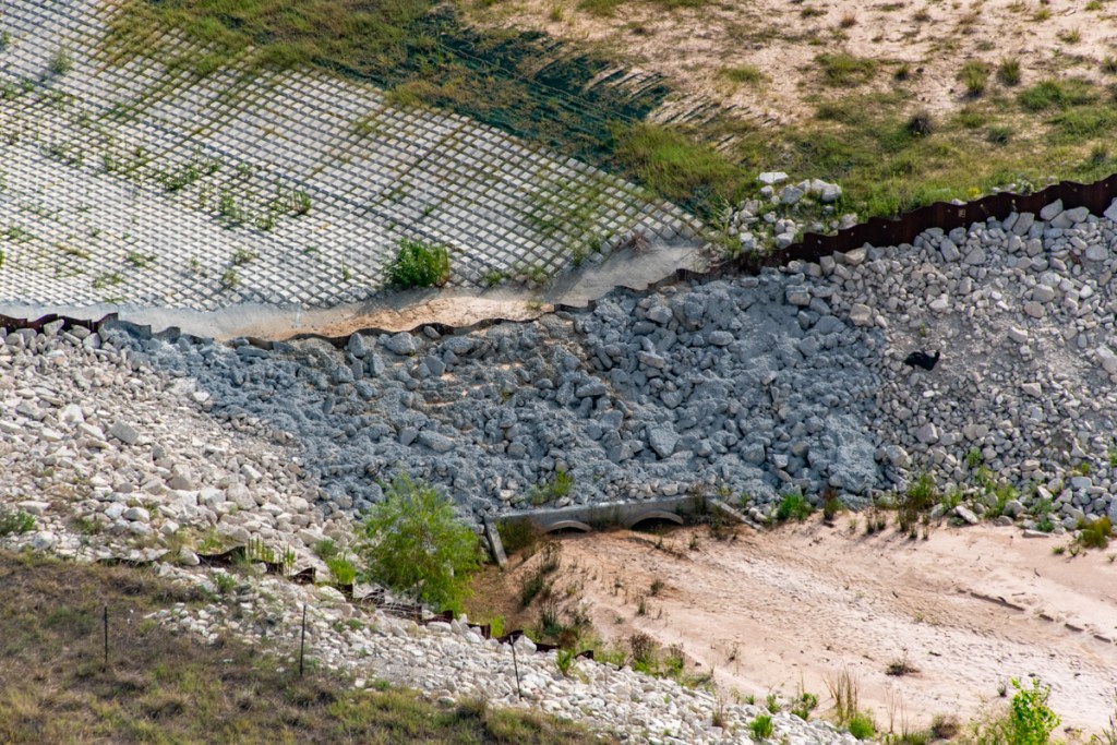
Active Construction
The last two pages describe updates on active maintenance and construction projects with spending on each. They show that – five years after Harvey – the Lake Houston Area still has only two active capital projects in construction. Both are excavation and removal contracts for $1000 each.
Pace of Projects Slowing
From looking at these reports month after month, it feels as though the pace of activity has slowed. We’re 40% of the way through the 10-year flood bond in terms of time, but only 22% complete. The gap is getting wider. Worse…
At the rate of $8 million per month, it would take 500 months to spend the next $4 billion in the bond.
That’s more than 40 years, not the 10 originally planned. We need explanation. But HCFCD executives were not immediately available to provide it due to travel schedules. I will follow up.
MAAPnext Progress
MAAPnext is the county’s effort to update flood-risk maps in the wake of Harvey. There’s not much new to report.
The timeline has slipped three months. In earlier updates, HCFCD indicated new maps would be released in spring/summer this year. Now, the target has slipped to summer/fall. A large portion of the update consisted of trying to explain why. In a sentence, “We’re waiting on FEMA.”
So I tried contacting FEMA. But FEMA could not provide a more precise estimate.
Harris County followed standard practice by submitting its findings to FEMA prior to public release. FEMA is currently reviewing all data and models. It is also producing preliminary Flood Insurance Rate Maps (FIRMS) based on those models. The data will help determine flood insurance premiums as FEMA moves to an actuarial-based system called Risk Rating 2.0.
Next Steps

When FEMA is ready, it will first brief community officials and floodplain administrators, and give them access to preliminary data. Shortly thereafter, FEMA and HCFCD will hold a series of open houses to brief the public. Public comment periods and appeals follow.
So, at best, the new maps will be released in 2024, seven years after Harvey. That’s fairly consistent with the length of time it took to finalize new flood maps after Tropical Storm Allison in 2001. Those maps became official on 6/17/2007.
But this process is far more complex because of Risk Rating 2.0. It includes individual flood-risk assessments for millions of homes. And that risk assessment will now also include street flooding, not just coastal and riverine flooding.
Posted by Bob Rehak on 8/5/2022
1802 Days since Hurricane Harvey