Matt Zeve Resigns from Harris County Flood Control District
Flood mitigation efforts in Harris County just took their second major hit in less than a year. Last July, Russ Poppe, the executive director of the Harris County Flood Control District (HCFCD) resigned after months of political backbiting. Now, Matt Zeve, the deputy executive director has resigned, too.
Zeve Background and Contributions
Zeve joined HCFCD one day after the Halloween Flood of 2015. He had a distinguished career in the private sector that led from Bachelors and Masters degrees in civil engineering at Texas A&M to one of the most important flood-control jobs in the country. Along the way, Zeve proved himself to be an accomplished engineer, a top-notch manager, a driven public servant, and a consummate communicator who handled himself with grace under pressure – all while managing the equivalent of a $5 billion startup in little more than three years. Like most good managers, Zeve shuns the spotlight, preferring to credit his talented team of employees and consultants.
Regardless, Zeve helped organize and lead the effort to build a $2.5 billion flood-bond program after Hurricane Harvey in 2017. He led 21 of 23 watershed meetings leading up to the bond referendum, which voters approved by 86%.
But $2.5 billion was just the bond money approved by voters. With projected matching funds, the total value exceeded $5 billion.
Imagine losing the Chief Operating Officer of a $5 billion startup! The picture that comes to mind is that of a juggler with 180 balls in the air.
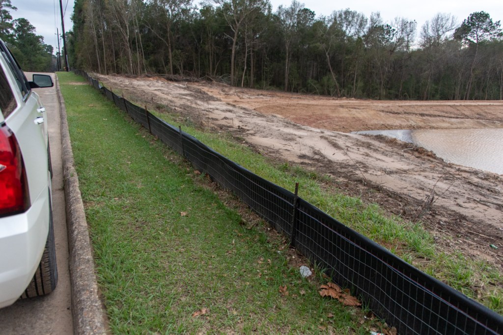
That’s how many projects Flood Control employees, consultants and contractors currently have in the works.
Zeve oversaw the transition of HCFCD from a sleepy County department that delivered about $30 million of capital improvements per year to one that delivers more than $400 million per year. That required internal process improvements, new hires, staff augmentation, implementation of new management software and more.
It also required a change in culture. The cultural shift that Russ Poppe and Matt Zeve brought to the Flood Control District produced a sense of urgency in all projects. It was based on the fact that somewhere in Harris County, it could flood tomorrow.
Zeve also led efforts to revamp how HCFCD communicates with the public, stakeholders and elected officials. The result: one of the most open and transparent government departments anywhere.
Delivering Under Pressure
He did all this under pressure that could be likened to wartime. Harris County experienced four 500-year storms from 2015 to 2019. During Harvey, an estimated 154,170 homes flooded across the county. Two thirds were outside the 100-year floodplain and did not have flood insurance. Harvey ranked as the heaviest rainfall event in North American history. Families, their life savings and whole communities were devastated.
At a time of crisis when most people would have headed to the exits, Zeve stepped up to the plate for the citizens of Harris County. To this day, he and his team are virtually the only ones in Harris County actually moving dirt to mitigate flooding.
Despite the Flood Control District’s progress, trying to serve 4.7 million people with PTSD would have challenged anyone. A few vocal people in densely-populated, low-to-moderate income neighborhoods felt they were not getting enough dollars from the flood bond. In reality, they were already receiving the lion’s share. Regardless, this vocal minority now seems to be dictating Commissioners Court policy.
When Politics Undermines Performance…
In this constant, contentious political tug-of-war, I’m sure Zeve often felt he had a thankless, 24/7 job. That had to weigh heavily on his decision to leave. Now that he’s leaving, those ignorant of his contributions and funding realities may give thanks, but the rest of the county should be alarmed.
People whom I speak with regularly tell me that the Flood Control District staff is devastated that Zeve is leaving; he was well-liked and respected. Staff are openly wondering why Commissioners Court would allow strong leaders like Russ Poppe and Matt Zeve to leave. I wonder as well. What is their end game?
Perhaps Court members want their own appointees instead of qualified and dedicated staff members. Maybe they value political persuasion over performance and protecting residents.
We will most likely never know. One could conclude that the majority on Commissioners Court may not care as much about flood mitigation as its members claim.
What Next?
Zeve’s team has more than 180 bond projects currently underway. And it could take months to find a new Deputy Executive Director. Commissioners Court still has not found a suitable replacement for Russ Poppe seven months after he resigned.
Zeve is just the latest in a long line of Harris County department leaders driven to departure for no good reason. His loss will leave a department dismayed, distracted and demoralized. Could anyone blame employees for wondering what thanks await their loyalty and hard work?
Posted by Bob Rehak on 1/24/2022
1609 Days after Hurricane Harvey
The thoughts expressed in this post represent opinions on matters of public concern and safety. They are protected by the First Amendment of the US Constitution and the Anti-SLAPP Statute of the Great State of Texas.