Two Top Geologists Suggest Mouth Bar Dredging Strategy
Two world-class geologists, Tim Garfield and R.D. Kissling, both of whom live in the Lake Houston Area, agreed (at ReduceFlooding.com’s request) to offer their opinions on what would be the best strategy for dredging near the San Jacinto West Fork Mouth Bar. Garfield and Kissling helped bring mouth bar issues to the attention of the public after Harvey. Both have followed various dredging programs in that area closely ever since.

History
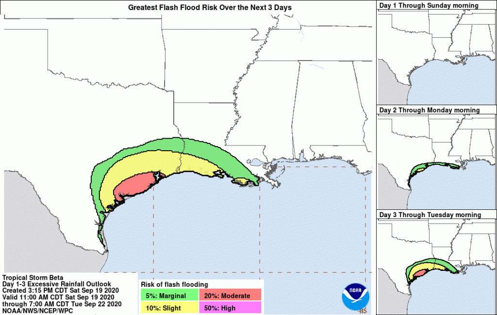
The Army Corps of Engineers dredged from River Grove Park to Kings Harbor in 2018 and 2019, removing approximately 1.8 million cubic yards. After a contentious battle with the City, the Corps then agreed to remove another 500,000 cubic yards south of the Mouth Bar in the Spring and Summer of 2019. This year, the City of Houston started removing the portion of the mouth bar that remained above water; they are still working on it (see above). Recently, FEMA agreed to remove another million cubic yards. And waiting in the wings is another $30 million that can be applied to additional dredging. State Representative Dan Huberty secured that money in the last legislature.
However, none of the various parties involved has volunteered to share their thinking about objectives and strategies behind mouth bar dredging alternatives. That’s why I asked Garfield and Kissling to offer their thoughts on what constituted the best strategy. Both worked for one of the world’s largest oil companies at the very highest levels.
Old Bathymetric Maps No Longer Valid
The first thing they realized was that they didn’t have enough data to make informed recommendations. The last published bathymetric maps were based on surveys taken before Imelda and before the Corps’ mouth-bar dredging.
Gathering Own Data
So Garfield and Kissling gathered their own data – with sonic depth finders, GPS, and a 14-foot pole with depth markings. They started upstream of the mouth bar, where the Army Corps finished its Emergency West Fork Dredging program near Kings Harbor. And they worked their way downstream beyond FM1960 to the railroad bridge.

Found Underwater Plateau 20′ High and 3 Miles Long
They found an underwater wall approximately 20′ high where the Corps stopped its first dredging program near Kings Harbor. It extended downstream more than 3 miles.


That wall, they say, “…constitutes a significant and abrupt hydraulic barrier that will likely exacerbate flooding and sedimentation.”
That wall is the leading edge of a 3-mile-long underwater plateau.


Recommend Following Original Channel
The cross-section graph of the river bed above represents the deepest part of the river. On either side of that centerline, the riverbed rises to two or three feet below the surface of the water. The centerline closely follows the paleo (original) channel of the river before the Lake Houston dam was built.
Garfield and Kissling recommend dredging along the deepest path (see below). They reason that would save money.

“This might not only be the most beneficial dredging plan, but could also be the most cost effective as it leverages the paleo-channel as much as possible,” they say. “It harnesses nature, rather than fighting it.”
The geologists also identified a second possible route farther to the east but still south of the above-water portion of the stream mouth bar (labeled SMB in diagram above).
They caution that hydraulic modeling should be used to decide the best dredging plan. Political considerations drove initial mouth bar dredging rather than data. The Corps was authorized only to dredge an amount that it believed Harvey deposited. “We should be past the politics at this point and looking to get the most bang for our bucks,” say the geologists.
Whichever strategy the City settles on, Garfield and Kissling recommend excavating a channel, not a broad area, to get the best results for the dollars invested.
Objective: Re-establish Full Channel From Kings Harbor to Lake Houston
“This new channel should be no shallower, nor narrower than the upstream dredged channel at its end dredge location (450’ wide x 26’ deep),” say the geologists.
As a minimum, the future dredging plan should re-establish a continuous and down-stream deepening channel volume from where the Corps channel dredging ended to the 1960 bridge.
Tim Garfield and RD Kissling
This will help reduce sediment build up upstream from the plateau. By accelerating water through the blockage, it will let the river carry sediment farther out into the deeper portion of the lake. It will also reduce water backup that contributes to flooding.
Read Garfield and Kissling’s full study, Evaluating West Lake Houston Bathymetry, Dredging Status and Recommendations.
Recommendations Consistent With City’s Preliminary Findings
The City has been methodically surveying Lake Houston and is in the process of developing its own maps, objectives and strategies. Stephen Costello, the City’s flood czar said they are not finished with that effort yet. However, he also said that the preliminary information they obtained suggested that a route south of the mouth bar might be the most effective.
Posted by Bob Rehak on 9/25/2020 with thanks to Tim Garfield and RD Kissling
1123 Days after Hurricane Harvey