Not Since 1933 Have Two Hurricanes Hit the Gulf Simultaneously
As of 11 a.m. Friday morning, we have Tropical Depression 14 and Tropical Storm Laura poised to enter the Gulf of Mexico. Forecasters predict both could intensify into Category 1 hurricanes. Not many living people can remember the last time we had two hurricanes in the Gulf at the same time. Jeff Lindner, Harris County’s meteorologist found only one other instance. That was in 1933 when two tropical systems made landfall near the Florida panhandle and near Brownsville, Tx.
That said, the National Hurricane Center updated forecasts for TD14 and Laura at 11 a.m. Here are the current positions of the storms.

TD 14 is the most imminent threat. It is currently in the Bay of Honduras battering the Bay Islands.
TD 13 intensified into a tropical storm overnight and was given the name Laura. It is near the windward islands, heading NW toward Cuba and Florida. The big question: Will land interaction weaken the storm? At this hour, some models show it dissipating. Others show it intensifying into a hurricane.
Current Forecast for TD 14


Rainfall Potential
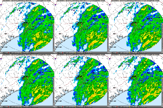
Last night, Channel 2 KPRC news predicted the possibility of 12 – 18 inches of rain out of this storm. That may be high.
At this time, Jeff Lindner, Harris County Meteorologist, predicts the storm will drop 3 – 5 inches of rain, mainly to the east of I-45, with some higher amounts possible.
“Grounds are very dry over the region, so the area soils will be able to handle some rainfall…at least a few inches…before significant run-off begins,” says Lindner. “Confidence is not high on the track and that will in the end determine where the maximum rain falls…with most of the heavy rain falling along and east of the track of the center.”
Meanwhile, the National Weather Service is only predicting a 50-60% chance of rain for next Tuesday.
The lower estimates may give hope to the people in Elm Grove who flooded last year. The detention ponds now in place on Woodridge Village were designed to handle that much rain. But if we got 18″…
At this time, the SJRA is not releasing any water. Lake Conroe is at 199.84 feet. Lake Houston is down about three-quarters of a foot from its normal level.
Tropical Storm Laura


Some Interaction Between Two Storms is Possible
Some models indicate interaction between TD 14 and Laura. That could slow TD 14’s forward motion over the Gulf. However, at this time, it is unclear whether Laura will have any influence on TD 14.
Preparation
Remember: Chance favors the prepared. Make sure you have fresh batteries. Stock your supplies. Fill your gas tank. Refill your prescriptions.
Check weather forecasts at least two or three times a day.
They get the information first.
Posted by Bob Rehak on 8/22/2020
1088 days since Hurricane Harvey


