Army Corps Proposes Solutions for Buffalo Bayou Flooding; One Could Affect Lake Houston Area
The Army Corps has released its Buffalo Bayou and Tributaries Resiliency Study (BBTRS). This is a major, 210-page study of options to reduce flooding on the west side of Houston. One of the main options considered also affects the Lake Houston area on the north side: a dam on Cypress Creek. But it comes at a high environmental cost.
Preventing Water From Overflowing Out of Cypress Creek Watershed
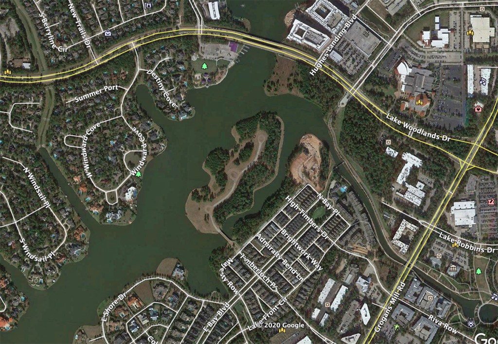
You may remember during Harvey that floodwater spilled out of the upper Cypress Creek watershed and bridged over to the Addicks reservoir. From there, it added to flooding on the west side. So one of the alternatives that the Corps examined was a third reservoir on Cypress Creek. This reservoir would be built on the far west side, north of Addicks. It would benefit not only the entire Cypress Creek area, but areas downstream as well. Cypress Creek drains into Spring Creek and eventually the West Fork and Lake Houston.
Cypress Creek Dam and Reservoir (Alternative #2 in the study) would construct a new 190,000-acre foot reservoir upstream of Addicks in the Cypress watershed. One overflow spillway discharges into Cypress Creek, while a second discharges into the Addicks Watershed. The primary control structure would release into Cypress Creek. First costs for the Cypress Creek Dam are estimated at $2.14 billion to $2.90 billion. Ancillary measures bring the total cost to $4.5 to $6.1 billion.
Interim Mid-Point Report
The Corps’ report does not present final conclusions and recommendations. The report is a mid-point technical document for review prior to recommending a solution.
Loosely Structured Data Dump
As you might expect, this interim report is loosely structured and somewhat hard to follow. Possible reasons: more than 40 people wrote it and five different teams reviewed it. It does not include recommendations, that might provide structure or logic to the organization. Also, it examines many alternatives, both alone and in combination that make it somewhat difficult to follow. They put everything they considered in the document for public review and comment (see below).
Alternatives Examined
Alternatives that the Corps examined include:
- Cypress Creek Dam
- Upper Buffalo Bayou Dam, Ungated
- Extending Additional Spillways within Barker and Addicks Reservoirs to increase storage
- Raising Embankments of Addicks and Barker reservoirs to increase storage
- Excavating Barker and Addicks reservoirs to increase storage
- Constructing tunnels from 33 to 43 feet wide between Barker and the Ship Channel to increase conveyance
- Constructing tunnels between 31 and 41 feet wide from the Barker to the Brazos
- Diverting water from Barker to Brays Bayou
- Widening 22 miles of Buffalo Bayou
The Corps also considered but discarded several other measures, including but not limited to:
- Pumping Stations – were neither feasible, nor cost effective.
- Injection wells – would not reduce flood risk.
- Restoration and preservation of coastal prairies and wetlands – Restoration of one acre of prairie would offset the impact of two acres of single-family land use or an acre of commercial development. However, the land needed was outside of the authorized study area.
Criteria Used to Evaluate Structural Alternatives
The criteria used to evaluate the structural alternatives above included:
- Rough order-of-magnitude costs (high, medium or low)
- Potential for system-wide impacts (best professional judgment based on engineering, H&H)
- Potential impacts to critical infrastructure (number of critical facilities that may be protected along with the number of roads that may be saved from impact)
- Required mitigation (defined as the potential number of acres that may be required and categorized and from high to low)
- Potential impacts to threatened and endangered species (defined as yes or no)
- Impacts to populations (defined as yes or no)
The tables below show how they assessed each alternative on these measures.


Relative Merits of Leading Alternatives
The rest of the report tries to quantify the pros and cons of each of the flood-reduction plans (including combinations of individual measures). The table below summaries the relative merits of leading alternatives.

Safety and Cost Considerations
Because dams and dam modifications weigh heavily this this report, the Corps also included a lengthy discussion of dam safety measures.
However, the rest of the reports focuses on economic and environmental consequences of the proposed alternatives.
The economic consequences include homes or businesses that might have to be bought out and relocated, development that might be encouraged or excluded, the cost of repeat flooding, etc.
Being precise enough to rank order each alternative at this point in the analysis is difficult. However, the Corps does present enough information to help the reader understand the economic consequences of alternative plans.
Environmental Consequences of Cypress Creek Dam
To simplify the rest of this post, I will focus only on the Corps’ environmental concerns about the Cypress Creek Dam.
The Corps frets about implementing any proposed measures within Katy Prairie habitat. They point out, “The Katy Prairie is the last remaining coastal prairie in Harris County and less than 1 percent remains throughout the state. The Cypress Creek Reservoir would have enveloped and impacted nearly all of the known quality Katy Prairie habitat remaining.”
In regard to other environmental consequences of a Cypress Creek Reservoir, the Corps says:
“The Cypress Creek Reservoir would be most likely to induce development, particularly in areas where Cypress Creek overflows currently affect lands.
While the Katy Prairie is not formally defined as a park or wildlife refuge, it has been identified by natural resource agencies (US Fish and Wildlife Service and Texas Parks and Wildlife) and conservation groups (Katy Prairie Conservancy, Legacy Land Trust, and Sierra Club) as an area of special cultural and ecological significance. … It is estimated that less than 20,000 acres of Katy Prairie remain in Harris and Waller counties.”
Would Affect 75% of Remaining Katy Prairie
“Implementation of the Cypress Creek Reservoir would significantly alter and degrade more than 75 percent of the remaining range-wide Katy Prairie habitat and a significant portion of the actively managed and preserved remaining habitat. Approximately 90 percent (about 10,400 acres) of the project area is operating under Habitat Conservation Plans, including mitigation banks, in which funding has been provided to maintain and enhance Katy Prairie, stream, riparian, and wetland habitats in perpetuity.
“Construction and operation of the reservoir would prevent future development; however, the primary purpose of the project would be for flood risk management and not habitat conservation. Long-term operation of the project would change the hydrology of the area and make it very difficult to manage the land for conservation of the specific habitats and species.”
Impact on Conservation Easements
The Corps continues, “While it is not anticipated that the habitats would be completely lost, it is very likely that they would have lower habitat quality than under the existing condition or No Action Alternative. Additionally, construction and operation of the dam would violate a number of the conservation easements. Mitigation for the mitigation banks would be needed to ensure paid for credits are appropriately accounted.
“These impacts would also apply to approximately an additional 6,000 acres of Katy Prairie conservation lands that are immediately downstream of the embankment, where the embankment would sever hydrologic connections thereby affecting hydrologic regimes, sediment and nutrient inputs and fragmenting habitats. These indirect impacts would also cause the lands to underperform in expected habitat quality for conservation and could result in conflicts with the conservation easements and mitigation banks.”
Next Steps
It sounds as though the Corps initially wanted to discard the idea of a Cypress Creek Dam. However, it’s still on the table.
The Corps intends to review this document with cooperating agencies, such as Harris County Flood Control. It will also hold a series of public meetings via video conference.
- Tuesday, October 13 6:00 – 8:00 PM
- Thursday, October 15 6:00 – 8:00 PM
- Thursday, October 22 6:00 – 8:00 PM
- Monday, October 26 1:00 – 3:00 PM
You are invited to join any of these sessions to learn about the project and submit questions for future responses on the project website.
In the video meetings, the project team will summarize the project goals, the process and progress to date. This information may help inform any comments that you can provide during the comment period.
Presentation material will be posted on the Corps’ website.
For the full Interim report, click here. Warning: 210-page, 8-meg download.
Written Feedback Requested
Written comments make your voice heard. Public comments can strengthen a decision by providing facts or perspectives that could be lacking in the original document. Your feedback helps create an accurate and comprehensive document that supports informed decision-making. You can comment via letter or email.
By postal mail, postmarked by November 2, 2020, to:
- USACE Galveston District
- ATTN: BBTRS
- P.O. Box 1229
- Galveston, Texas 77553-1229
By email to:
Posted by Bob Rehak on 10/3/2020
1131 Days after Hurricane Harvey