Taylor Gully-Woodridge Village Meeting Scheduled for Dec. 14
The Harris County Flood Control District (HCFCD) has scheduled a community meeting to reveal the results of an engineering study of the Taylor Gully watershed and Woodridge Village, the aborted development that flooded Elm Grove and North Kingwood Forest twice in 2019. The virtual meeting will be on:
- December 14, 2022
- 6:30 PM – 7:30 PM
Two Related Efforts
Because Woodridge Village sits at the headwaters of Taylor Gully, the volume of stormwater detention upstream and the amount of conveyance needed downstream are related. More of one could mean less of the other. HCFCD has been working to find the optimum solution, which should be discussed at the meeting.
Areas of Concern Identified by Community Members
Community members previously expressed concerns, including:
- Bringing stormwater detention capacity on the Woodridge Village site up to Atlas-14 standards.
- Straightening a Taylor Gully oxbow adjacent to Woodstream Forest where numerous homes flooded.
- Replacing the old culvert-style bridge on Rustic Elms with an open-span bridge.

Hundreds of homes adjacent to Woodridge Village and Taylor Gully flooded twice in 2019 after a developer clearcut approximately 270 acres before building required stormwater detention basins.
The developer then sold the troubled project to HCFCD in March 2021 after building 271 acre feet of stormwater detention capacity – an amount sufficient to meet Montgomery County’s pre-Atlas-14 standards, which were in effect at the time of permitting.
Taylor Gully One of Top Two Priorities in Kingwood Area
The Kingwood-Area Drainage Analysis from October 2020 recommended Taylor Gully as one of the top two priorities for Kingwood. However, HCFCD also recommended the Taylor Gully project be re-analyzed to determine how the use of Woodridge Village for detention could modify the recommended plan.
Here is the scope of work for the engineering company that worked on the Taylor Gully-Woodridge Village project.
42 More Acre Feet Removed to Date from Woodridge Village
In March 2021, Harris County and the City of Houston purchased the Woodridge Village property. They then started an Excavation and Removal Contract with Sprint Sand and Clay in January 2022 that could ultimately double the volume of stormwater detention on Woodridge Village.
Since February 2022, Sprint Sand & Clay has removed an average of more than 1,700 cubic feet of dirt each week from Woodridge. That’s roughly one acre foot per week. An acre foot equals 1613.33 cubic yards of material.
So, HCFCD has increased detention capacity by almost 42 acre feet since signing the contract with Sprint. That means detention capacity has already increased by about 16 percent, not quite half of what it needs to meet new Atlas-14 requirements.

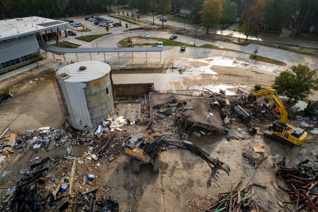
Pictures Showing Woodridge Village Status
Here are some pictures that show the extent of excavation on November 26, 2022.


Excavation and removal contracts give HCFCD a head start on construction of stormwater detention basins. The final dimensions may not be known yet, but HCFCD can make adjustments as it finalizes construction plans.
We should learn more about those on December 14th. Block out the date for the Taylor Gully, Woodridge Village meeting.
Posted by Bob Rehak on 12/2/2022
1921 Days since Hurricane Harvey