Houston Council Member Dave Martin Issues Mouth Bar Update
Houston City Council Member Dave Martin announced today that the Federal Emergency Management Administration (FEMA) has authorized the United States Army Corps of Engineers (USACE) to remove sand and siltation from the Lake Houston mouth bar.
History of Project
In 2018, USACE first began removing debris deposited during Hurricane Harvey from the San Jacinto River under FEMA Mission Assignment (DR 4332). The assignment directed USACE to restore the river to pre-Harvey conditions.
DR 4332 has removed debris from three out of four identified sections of the San Jacinto River. Contractors should finish the last segment (shown in blue below) in May.

FEMA did not approve the fourth section, in the original scope of work for DR 4332. Last month, the City of Houston filed an application for mouth bar removal as well as an additional dredge material disposal site. FEMA and USACE have been reviewing it since then, according to Council Member Martin.
The State of Texas, the City of Houston, as well as multiple stakeholders from the Lake Houston area, requested FEMA to expedite authorization of a Mission Assignment for debris removal and dredging of the mouth bar while the equipment is still in the river. The hope: to save taxpayers the cost of a second mobilization effort. Mobilization for the first assignment cost approximately $18 million.
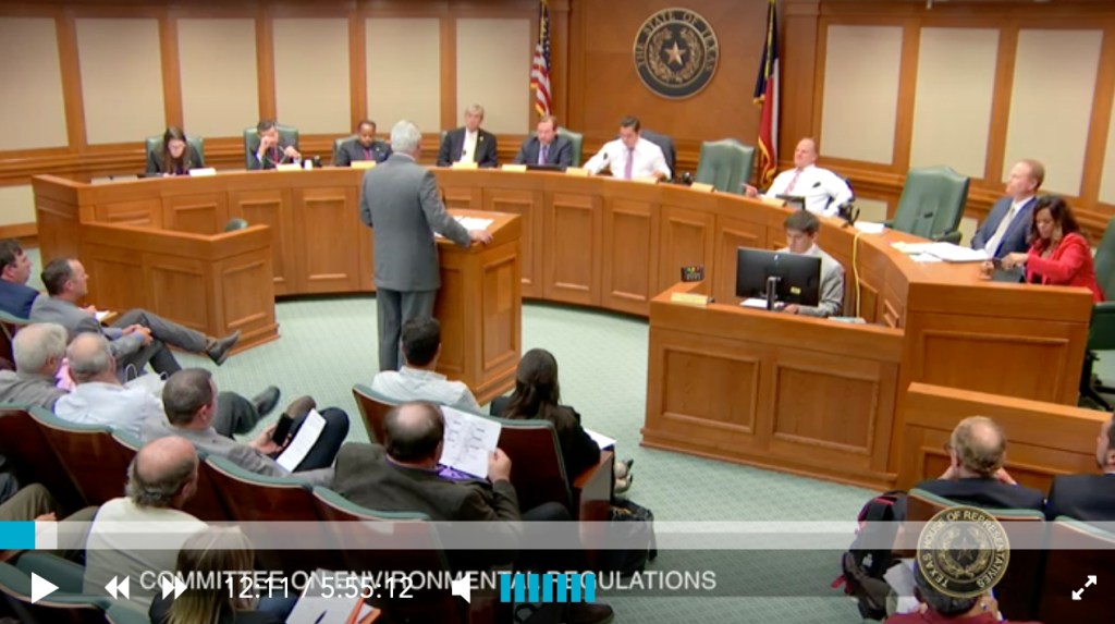
FEMA Issues Directive of Mission Assignment
At a meeting last week in Austin, FEMA issued a directive of Mission Assignment to USACE for dredging of the mouth bar at the confluence of the San Jacinto River and Lake Houston.
The City requested removal of 1.4 million cubic yards of sediment. It is unclear at this time how much FEMA will fund, exactly where it will be stored, and whether matching funds will come from other sources. FEMA, TDEM, City of Houston, and USACE are still working to determine the amount of silt deposited by Hurricane Harvey.
Dredging of Final Segment To Begin Within 30 Days
Martin hopes the calculation will be finalized next week, and expects dredging to begin within 30 days.

Kudos to Mission Team
In his press release, Martin issued “a huge thank you to our federal partners Congressman Dan Crenshaw, Field Representative for Congressman Crenshaw, Kaaren Cambio, Congressman Kevin Brady, Senator Ted Cruz, and Senator John Cornyn for their support as they have all been meeting regularly with FEMA and discussing this project.”
“This is a huge project for our area,” said Martin, “and it would not be possible without the on-going support and push from Governor Greg Abbott and Chief Nim Kidd, Texas Department of Emergency Management (TDEM), as well as Mayor Sylvester Turner and Stephen Costello, Chief Recovery Officer – City of Houston.”
Martin also gave additional thanks to Jenna Armstrong and Mark Mitchell from the Lake Houston Area Chamber of Commerce for coordinating a letter writing campaign.
Breathing a Bit Easier Tonight
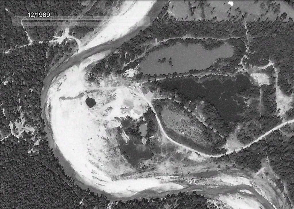
During floods earlier this year, I noticed a ten foot difference at times at gauges on either side of the mouth bar. It is acting like a dam behind the dam.
With the start of Hurricane season on June 1, residents of Kingwood and Humble will breathe a little easier tonight. Hopefully, the Corps and its contractors will be able to at least dredge a channel through the mouth bar area before the peak of the Atlantic season from mid-August through September.
The SJRA has agreed to continue lowering Lake Conroe during that period by 2 feet versus its normal level as an additional buffer against flooding.
My thanks to Council Member Dave Martin for pushing this project so tirelessly, and to Kaaren Cambio and Mark Micheletti for leading to effort to lower Lake Conroe again this year. Neither effort has been easy. Finally, kudos also to Tim Garfield and R.D. Kissling, two local retired geologists for their efforts in helping people understand the dangers posed by the mouth bar.
Posted by Bob Rehak on April 26, 2019
605 Days since Hurricane Harvey