Garcia’s Proposal to Divert $191 Million in Flood Funds from Cedar Bayou is Defeated
During a spirited, but cordial debate Thursday that lasted almost two hours, Harris County Commissioners Court decided NOT to divert $191 million designated for Cedar Bayou in the flood bond. The deciding factor: previous promises not to cancel projects made by Lina Hidalgo and, you guessed it, Adrian Garcia himself.
Commissioners also recognized a need to ask voters for more flood-mitigation money and feared that cancelling projects would jeopardize the trust of voters and put future bonds at risk.
In the end, Commissioners Cagle and Ramsey got Judge Lina Hidalgo to agree with them, and Garcia withdrew his motions to transfer the money. It was reportedly the first time in years that Democrats broke ranks. Garcia seems crushed.
Two Sides Lay Out Opening Positions
Democrats primarily argued that we need to spend the money quickly to protect populated neighborhoods that have repeat flooding instead of newly developing areas.
Garcia led off the debate by stating the ideas behind the motion: flood bond matching funds have not yet fully materialized, so money is short. And cure is more important than prevention.
Republicans argued that voters approved a bond with a list of projects, and that diverting money would violate the public trust and jeopardize future bonds.
Cagle Reminds Hidalgo and Garcia of Previous Promises
Precinct 4 Commissioner Jack Cagle started his talk by showing this series of visuals. Within it was this four-page letter from Hidalgo to State Legislators dated February 27, 2019. In it, she said, “Let us start with this unequivocal truth: every project on the 2018 Flood Bond project list will be completed.”
The last page of the letter also contained a FAQ sheet. The very first question: “Is Harris County going to cancel my project?” Answer” “No, every project on the Flood Bond project list will be completed.”
Cagle also showed a rambling statement Garcia himself made at Commissioners Court on 8/27/2019. “If anybody and if anybody is watching on live streaming that believes that this body has somehow taken action to eliminate projects that were already planned, already posted, and already listed, I want people to know that whoever is spreading that rumor, whoever may be making phone calls, whoever may be having someone make phone calls, whoever may be out there telling people to call you and tell you come down to Commissioners Court and tell them don’t eliminate our projects or why are you eliminating our projects. I want to make sure you know that that is blatantly false if not maybe a lie. If anyone is getting that kind of information that things of that nature are happening, I’m not sure how this information is getting out there but it is just downright false.”
Whew. That first sentence is 88 words long! But the gist of it is that, “The allegation that we’re eliminating projects is blatantly false.”
Commissioner Ramsey focused mostly on a project he wanted to kill just six months ago, so he could use the money on one he considered more important in the same watershed. However, he was told that he couldn’t. Ramsey, in essence, was arguing that a double standard seemed to exist.
Those reminders seemed to turn Hidalgo. Realizing there was no hope of a win, Garcia withdrew the motions (#136 and #323) to divert the Cedar Bayou money.
Garcia Makes New Motion
But that didn’t end the discussion. Garcia made another motion. He asked the county administrator to work with Flood Control to come back with a funding recommendation “for projects outside the 100-year flood plain.” The motion carried unanimously without debate.
However, someone should have asked if he was so concerned about repeat flooding why would he focus efforts on 500-year floods instead of floods with higher frequency.
Misrepresentation of Available Funds
Repeated falsehoods marred the discussion. One had to do with the amount of money available. On numerous occasions, Garcia claimed only $2.5 billion was available. However, because of partnership funds already received and transfers from HCTRA, the total committed to flood mitigation to date exceeds $4 billion. As of June 2021, only another $951 million is needed to fully fund all bond projects with seven years left to find the money. And the GLO is waiting in the wings with another $750 million from HUD. That one grant could come close to fully funding all bond projects.

So funding is not quite as dire as Garcia stated. Flood bond projects are fully funded for at least the next six years.
Misrepresentation of Number of Homes Flooded
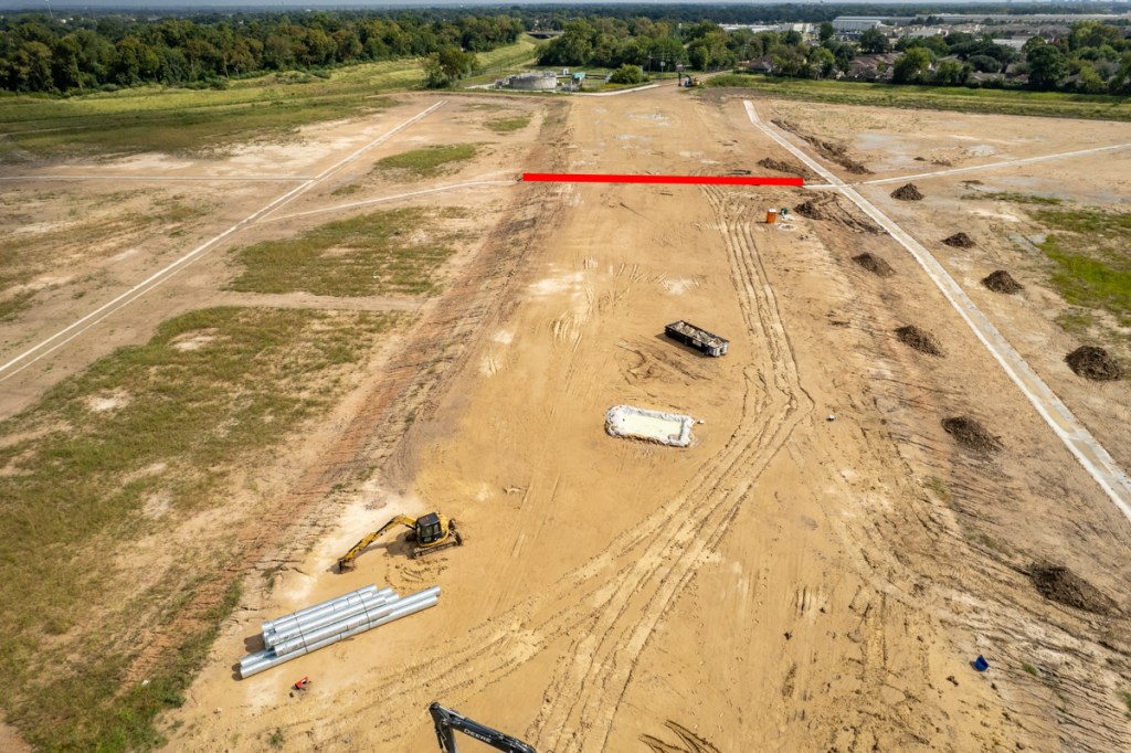
Garcia also misrepresented the number of homes flooded along Cedar Bayou; he claimed 400. But Harris County Flood Control Federal Reports show the number was more than 2,200. Garcia contrasted that with 2,494 in the area where he wanted to shift the money.
If you look closely in Garcia’s spreadsheet, you will also see that his consultant claims Garcia’s projects will take more homes out of floodplains than Harvey flooded. Hmmmm, 2494 flooded in Harvey vs. 3697 removed from floodplains. Wonder how that works.
Show Me the List!
Finally, after repeatedly talking about specifics and referring to “this project” or “these projects”, the number of homes that could be removed from the 500-year floodplain, and the rankings of projects, Garcia pretended that “a list” was still in development. However, I later obtained a copy. While Garcia may still be fine tuning the list, he had one that he shared with other commissioners but not the public. That list identified 17 projects from which he compiled the 2,494 structures saved.
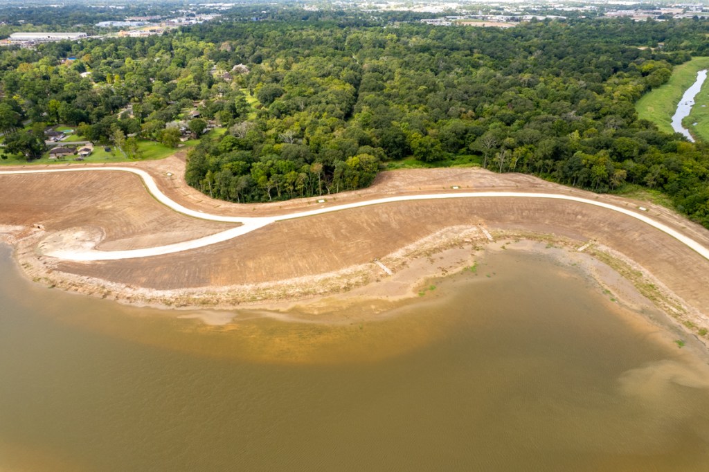
The 17 projects include Carpenters Bayou, Vince Bayou, Goose Creek, Jackson Bayou, Spring Gully, Armand Bayou, Galveston Bay, Greens Bayou and San Jacinto watersheds.

Projects Fall within Boundaries of Precinct 2 Proposed in Ellis Plan
The flood bond already included money for nine of those projects. So transferring money for them should have been unnecessary, but Garcia included their costs in his total dollars needed.
Nine were within Cities (Pasadena, Baytown, La Porte). And eight were in unincorporated areas. The county’s primary mission is to serve unincorporated areas.

This supports the hypothesis that the attempted transfer related to bolstering Garcia’s re-election chances.
The location of the projects relative to the proposed Precinct 2 boundaries never came up in debate, however. That’s probably because dozens of additional people complained about redistricting plans today BEFORE the discussion of shifting Cedar Bayou money.
Head Scratcher
Garcia also repeatedly mentioned homes that flooded in the 500-year flood plain. And his motion talked about removing homes from the 500-year floodplain rather than protecting homes in the 10, 50, and 100 year floodplains. Those flood far more frequently and he said upfront that his primary concern was repeat flooding.
Redistricting Not Decided Tuesday
Commissioners debated redistricting Tuesday, but deferred any decision until at least Thursday when they will hold another special session to take up the subject. They did debate the merits of different maps but asked a contractor to develop even more. Garcia stated that he, like Rodney Ellis, wanted to see a map with four Democratic precincts. Then they made a hasty departure for the Astros first World Series game.
Posted by Bob Rehak on 10/27/2021
1520 Days since Hurricane Harvey