HCFCD Grappling with Inflation’s Impact on Flood-Bond Purchasing Power
Inflation has reduced the 2018 Flood Bond’s purchasing power. The general rate of inflation during the last five years adds up to 20%. That could potentially eliminate one fifth of the projects in the flood bond.
It’s a serious concern for the people whose mitigation projects have been put at the end of the line by the County’s Equity Prioritization Framework. Some residents may never see any benefit from their tax dollars, which are going to other areas.
Here’s how Harris County Flood Control District (HCFCD) will look at projects that now have an uncertain future.
Local Costs Consistent with General Rate of Inflation
In a presentation to the Harris County Community Flood Resilience Task Force, Jesal Shah PE, the new Chief Project Delivery Officer for HCFCD, discussed the issue of inflation. Shah, a Houston native, has been in his job since May, 2023. He previously led flood-risk reduction planning, design, engineering, and construction efforts for the government of British Columbia.
Shah cited 15-20% increases in construction, material, and right-of-way acquisition costs for Harris County flood-mitigation projects.

Summary of 2018 Flood-Bond Funding To Date
The 2018 flood bond contained $2.5 billion in funding for approximately $5 billion worth of projects. Partnership funding, i.e., grants, were supposed to make up the difference.
And at this point, all of the partnership funding has been secured thanks to an infusion of $825 million in Community Development Block Grant funding from the U.S. Department of Housing and Urban Development (HUD) and the Texas General Land Office (GLO).

That’s very good news.
63% of Bonds Sold Already
Shah says that the County has sold $1.575 billion worth of bonds to date, almost two thirds of the original $2.5 billion.
Of the two thirds, about half the money has been spent or “encumbered.” Encumbered means the money is committed to projects and difficult to move. For instance, a project may be in construction, but not yet completed.
The other half has been committed to projects, but not yet encumbered. For instance, bonds may have been sold, but the construction job may not have been awarded yet.
See below.

Securing the partner funding is huge good news. But the impact of inflation is worrisome. To help deal with that, the County is re-evaluating all projects associated with the flood bond.
How Projects are Being Re-evaluated
Shah cited three types of projects listed in the original bond. Those with:
- Well defined scope and accurate estimates.
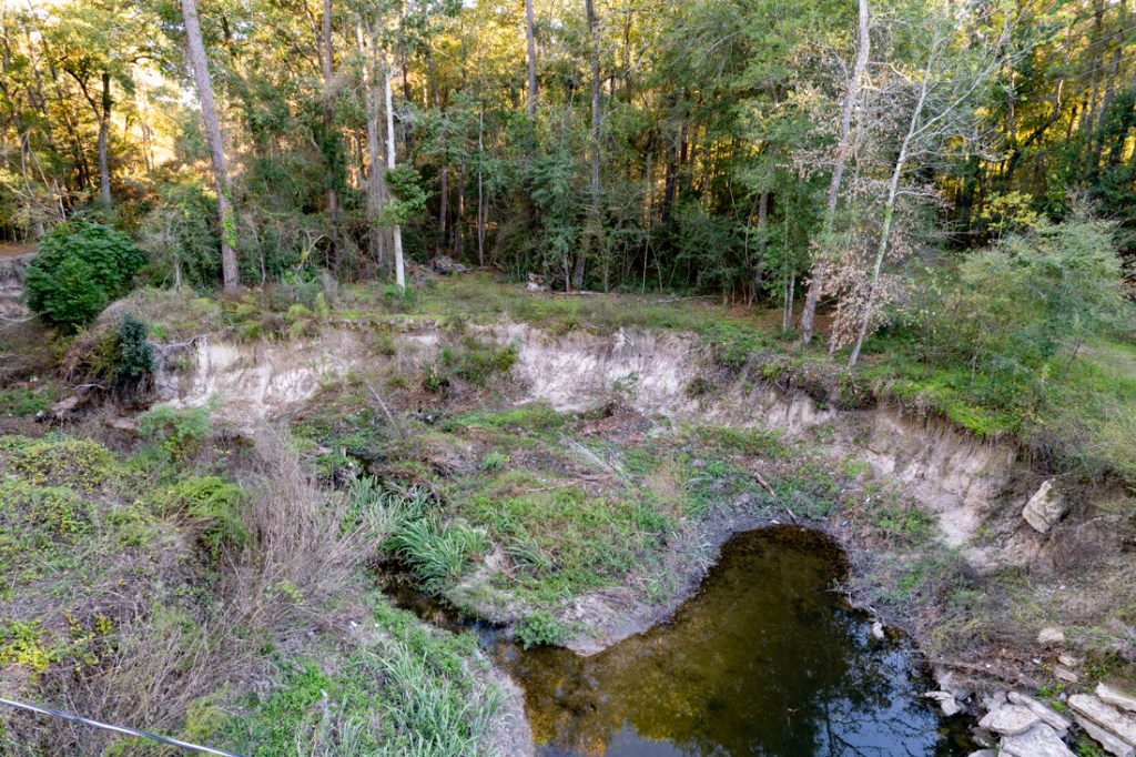
- Clear scope but inaccurate estimates. For instance, the Lauder basin has almost tripled its original cost estimate.
- Vague scope and unreliable estimates.
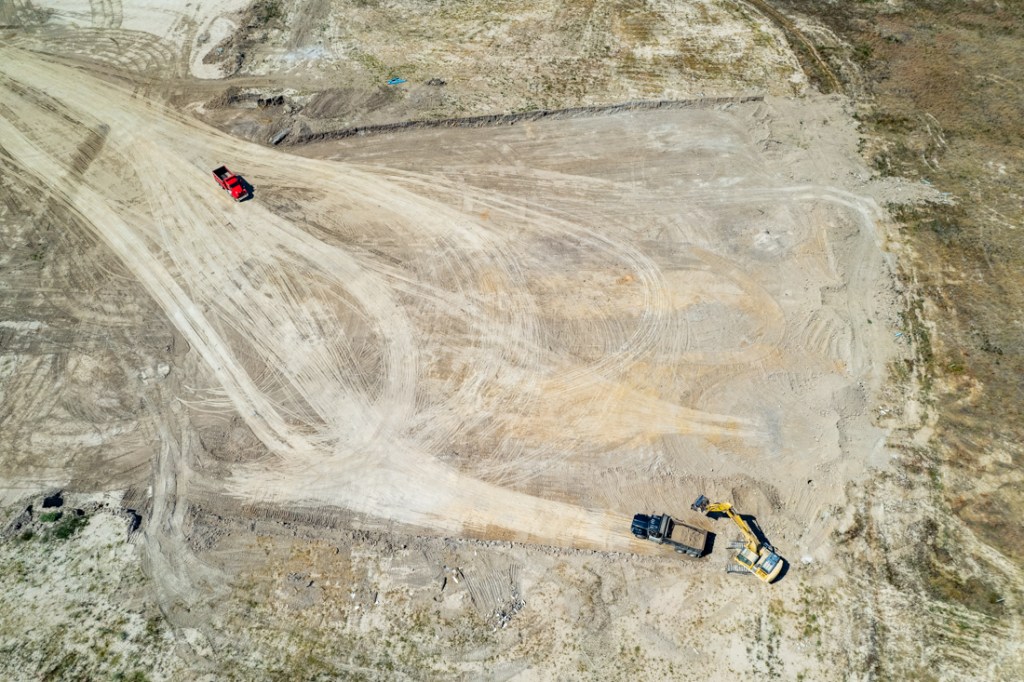
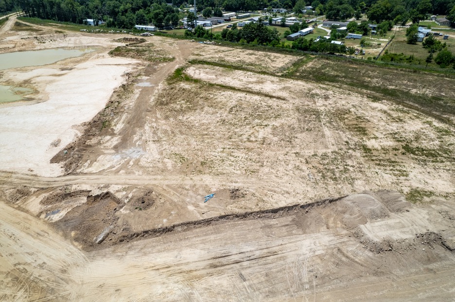
See examples below.

To complicate matters, some backstop funding from the Flood Resilience Trust is no longer available because of new “guidance” from Commissioners Court. That will eliminate $343 million in funding flexibility.

And keep this in mind. The bond program is far from complete. We could easily see another 15-20% of inflation before its over. So what to do?
Sharpening the Pencil
Shah’s team is dividing the remaining bond projects into two piles.
- Those with clear scope and funding will be completed.
- Those without clear scope or funding will be re-evaluated.
Shah hopes to present an updated project list to Commissioners Court sometime during the second quarter of 2024.

Shah has already taken a first pass at re-evaluating the bond’s project list. Of the 181 projects identified in the bond:
- 30 have already been completed or eliminated.
- 63 will continue moving forward.
- 88 (almost half) will need more funding or more clarity (i.e., more engineering studies/tighter estimates) to move forward.

The slide below shows the guiding principles for evaluating the 88 projects that need more funding or clarity.

Lack of Balance Could Jeopardize Future Bond Offerings
One possible way to mitigate the toll of inflation involves phasing projects in areas that have already received large amounts of funding so that projects in areas that received little funding could move forward.
For instance, in a project that involves multiple stormwater detention basins, one or more of the basins could be delayed until the next bond. Meanwhile, delaying that basin could free up money for a basin in a different watershed.
However, during Q&A, Shah said he has no plans to phase projects.
A lack of equitable distribution could jeopardize future bond offerings.
And many areas have received little funding from this bond.

In the future, voters who saw no benefit from the 2018 flood bond might, once again, feel victimized by bait-and-switch tactics.
Selling future bonds will require restoring faith in the fairness of government. And that will require spreading bond funds around so that everyone – in all parts of the county – sees some benefit from them. That’s my humble opinion.
When HCFCD presents its updated project list to Commissioners Court in the second quarter of 2024, it will be interesting to see whether Commissioners and the County Judge agree with it.
John Whitmire’s landslide election in the Houston Mayor’s race may send a message to them. Whitmire is a Democrat who campaigned across the aisle and received heavy Republican support.
Posted by Bob Rehak on 12/16/2023
2300 Days since Hurricane Harvey