Rehab Work to Begin on Upstream Portion of Taylor Gully Monday, July 15
According to Beth Walters of the Harris County Flood Control District (HCFCD), work on the upstream portion of Taylor Gully in Kingwood will begin on Monday, July 15, weather permitting. There’s still uncertainty regarding the local impact of Tropical Storm Barry, however, equipment has already started showing up at the job site.

From Bassingham to Harris County Line
The work will extend from Bassingham to the Harris County line where the Gully meets the new Woodridge Village development in Montgomery County.
Scope of Work
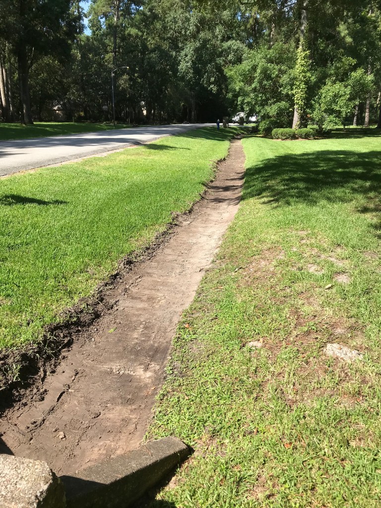
This work will include the following:
- Desilt the channel
- Reconstruct the backslope interceptor structures
- Install new backslope interceptor pipes
- Regrade backslope swales
- Install new gates
- Install new “No Trespassing Signs”
- Re-Set the covers of the “E type” inlets that have been damaged
Next Steps
After completing this reach of the channel, HCFCD staff will investigate Taylor Gully further downstream, where HCFCD completed a desilt job in the spring of 2019, from Bassingham to the downstream end. HCFCD will open up any constrictions and desilt the channel if necessary.
Vital for Flood Mitigation
Approximately 200 homes near this channel flooded during the May 7th storm. According to residents, video taken during the storm, and still photos taken after the storm, overland sheet flow from Woodridge Village was the likely cause of their problems. Regardless, news of this effort will come as a great relief to Elm Grove and Woodstream residents who welcome every extra margin of safety they can get.
Kudos to the flood control district for jumping on this project. Commissioners Court approved the right of way acquisition only last Tuesday!
Work on Montgomery County Portion of Gully Also Proceeding
Elm Grove resident Jeff Miller also reported today that Woodridge has expanded a portion of Taylor Gully that runs through Montgomery County. Where the east/west portion of the ditch makes a 120 degree turn and starts heading south along the western border of North Kingwood Forest…

… the contractor widened the ditch and expanded the turn.

For comparison, here is what the same ditch looked like on May 12.

To see what the entire turning radius NOW looks like, see this video.

More good and welcome improvements. Just wish they had been in place before May 7th.
Posted by Bob Rehak on 7/13/2019 with help from Jeff Miller.
683 Days after Hurricane Harvey and Two Months after the Elm Grove Flood