January Digest of Flood-Related News in Lake Houston Area
From construction developments to political developments, here’s your January digest of ten stories that could affect flooding or flood mitigation in the Lake Houston Area.
1. New Caney ISD High School #3
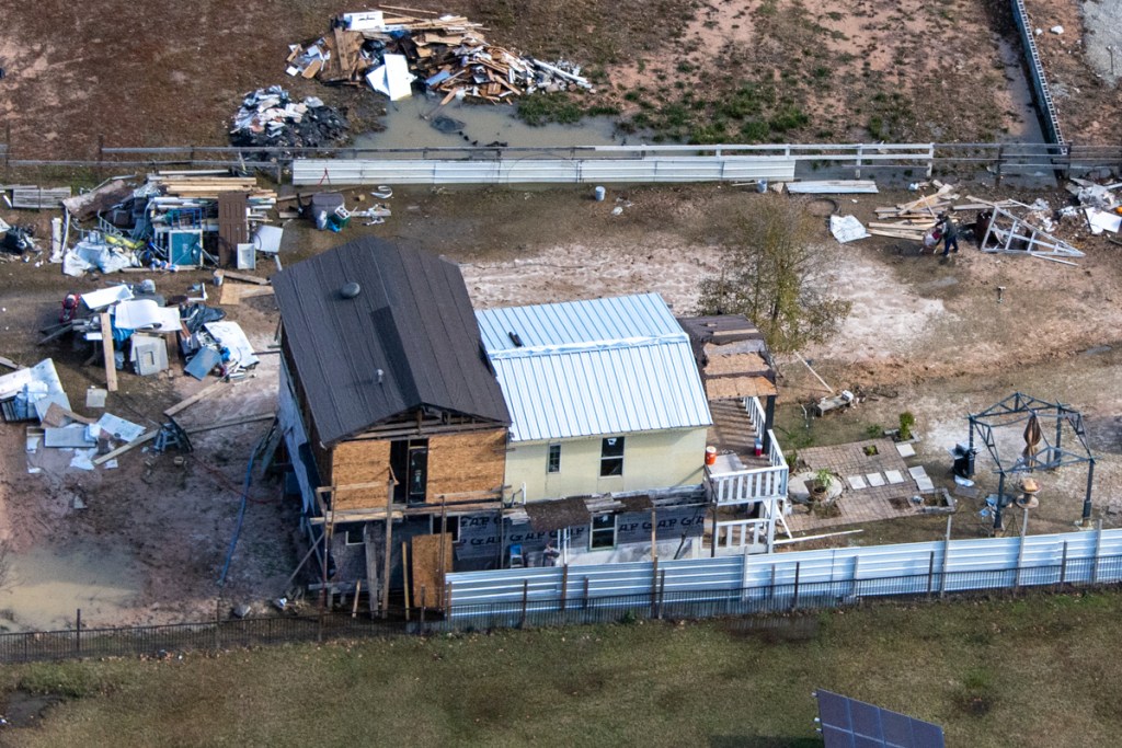
This site is located between Sorters-McClellan Road and US59 south of the HCA Kingwood Medical Center. New Caney ISD is building a new high school on the site of the old par 3 golf course behind the car dealerships that front US59. Construction crews are still pouring concrete for foundations and parking lots. Not much happened between flyovers on December 7 and January 1. But then, not much happens anywhere during the holidays. The two photos below show the progress. Construction of the detention pond is nearing completion. However, contractors still need to plant grass to reduce erosion before spring rains arrive.


New Caney ISD has not posted a project update since last September. Projected occupancy for the building is still Fall 2022.
2. Kingwood Cove Golf Course Redevelopment
I first talked about Ron Holley’s redevelopment of the Kingwood Cove (formerly Forest Cove) Golf Course in April last year. Since then Holley says he has been working with engineers, community groups and regulators to accommodate different interests.
Now, the development is back on the planning commission agenda for this Thursday. Holley is seeking approval of his latest General Plan and Plat. Neither show any detention ponds. The only place they could go would be in “Reserve C.” The General Plan shows that to be in the floodway and 100-year floodplain. Both could soon expand.

The City raised an issue regarding compliance with regulations governing the re-plat of golf courses at the 12/17/2020 Planning Commission meeting. The City requested information relating to Local Government Code 212.0155.
That regulation requires, among other things, that:
- Public notice of the re-plat be printed in newspapers
- The Forest Cove Property Owners Association is notified
- Residents have an opportunity to voice their opinions at public hearings
- Owners of all properties within 200 feet of the new plat be notified in writing via US Mail.
- If 20% of the owners object, the re-plat must win the approval of 3/5ths of the planning commission.
- The developer proves there is adequate existing or planned infrastructure to support the new development.
- The new subdivision will not adversely affect health, safety traffic, parking, drainage, water, sewer, or other utilities
- The development will not have a materially adverse effect on existing single-family property values.
- The new plat complies with all applicable land-use regulations and restrictive covenants and the City’s land-use policies.
That’s a lot to do over the holidays. So the general plan may need to be withdrawn and resubmitted after all the information has been produced. We should know more by Wednesday afternoon.
3. Dredging
Mayor Pro Tem Dave Martin’s January newsletter stated that Disaster Recover Corporation has removed 385,000 cubic yards from the West Fork Mouth Bar out of an estimated total of 400,000 cubic yards.
Then he alluded to dredging another 260,000 cubic yards from the area north of the mouth bar.
He also alluded to a Second Phase: dredging the San Jacinto East Fork and other locations in Lake Houston.
Finally, Martin discussed maintenance dredging. “Additionally,” he says, “during Phase Two of the project, City of Houston, Harris County, HCFCD, SJRA, and Coastal Water Authority (CWA) will develop and execute a plan for the City of Houston or CWA to assume long-term dredging operations on Lake Houston. This effort will include determining funding for dredging operations in perpetuity.”
4. Appointments to SJRA Board
Governor Greg Abbott has appointed Wil Faubel and Rick Mora, M.D. and reappointed Kaaren Cambio to the San Jacinto River Authority Board of Directors. Their terms will expire on October 16, 2025.
Kaaren Cambio of Kingwood is a field representative for United States Congressman Dan Crenshaw. She is a former member of Women’s Business Enterprise National Investment Recovery Association, Pipeline Contractors Association, and the Houston Pipeliners Association. Cambio received a Bachelor of Business Administration from San Diego State University.
Wil Faubel of Montgomery is President of Borets US Inc. He is a veteran and senior executive in the Oilfield Services industry with more than forty years of service. He has both domestic and international experience and is a lifelong member of the Society of Petroleum Engineers and a former board member of the Petroleum Equipment Suppliers Association. Faubel received a Bachelor of Science in Mechanical Engineering from Southern Methodist University.
Rick Mora, M.D. of The Woodlands is a partner at US Anesthesia Partners and Chief of Anesthesiology for Memorial Hermann Pinecoft Surgery Center. He has served as chair of the Montgomery County Hispanic Chamber of Commerce and is a founding Board member of the non-profit, Los Doctores de The Woodlands. Mora received his MD from the University Of Illinois College Of Medicine.
5. Forest Cove Townhome Buyouts
Harris County Commissioner’s Court will vote today on an item to exercise eminent domain on seven townhomes in the Forest Cove complex. The entire complex was destroyed after Harvey and many owners simply walked away from their properties without leaving forwarding addresses. Flood Control has been unable to find the owners after years of trying. Several may have moved out of the country. Eminent domain on these last few properties will clear the way for demolition of the entire complex and restoration of the area to nature or park land.

6. Woodridge Village
The purchase of Woodridge Village from Perry Homes is not on today’s Commissioner’s Court Agenda. However, all energies are reportedly still positive. It’s just taking time to work out the complex three-way purchase arrangements.
7. Romerica
Houston PlatTracker shows that the Romerica people may have acquired more land. But so far, they have not returned to the planning commission for approval on the latest iteration of the developer’s plans. No news is good news in this case.
8. Lake Houston Spillway Improvement Project
The City is close to finalizing the Preliminary Engineering Plan. Sources say the benefit/cost ratio looks very positive. We may see the final recommendations this month.

9. Noxxe Cleanup
The Railroad Commission could start plugging wells, removing storage tanks, and cleaning up the abandoned Noxxe lease in Forest Cove soon. The project manager has submitted work orders for final approval.

10. Kings Harbor New Construction
New condos are going up in Kings Harbor faster than Flood Control can tear down the ones in Forest Cove down. And they’re even closer to the river!

Posted by Bob Rehak on 1/5/2020
1125 Days after Hurricane Harvey
The thoughts expressed in this post represent opinions on matters of public concern and safety. They are protected by the First Amendment of the US Constitution and the Anti-SLAPP Statute of the Great State of Texas.