Reduce Flooding - NOW!
Days since Harvey
i
Reduce Flooding
  • Home
  • News
  • Overview
  • Reports
  • Funding
  • Legislation
  • Sand Mining
  • Lake Lowering
  • Impacts
  • Links
  • Submissions
  • Gallery
  • Pic of Day
  • Contact
  • Click to open the search input field Click to open the search input field Search
  • Menu Menu

Photo of the Day 87

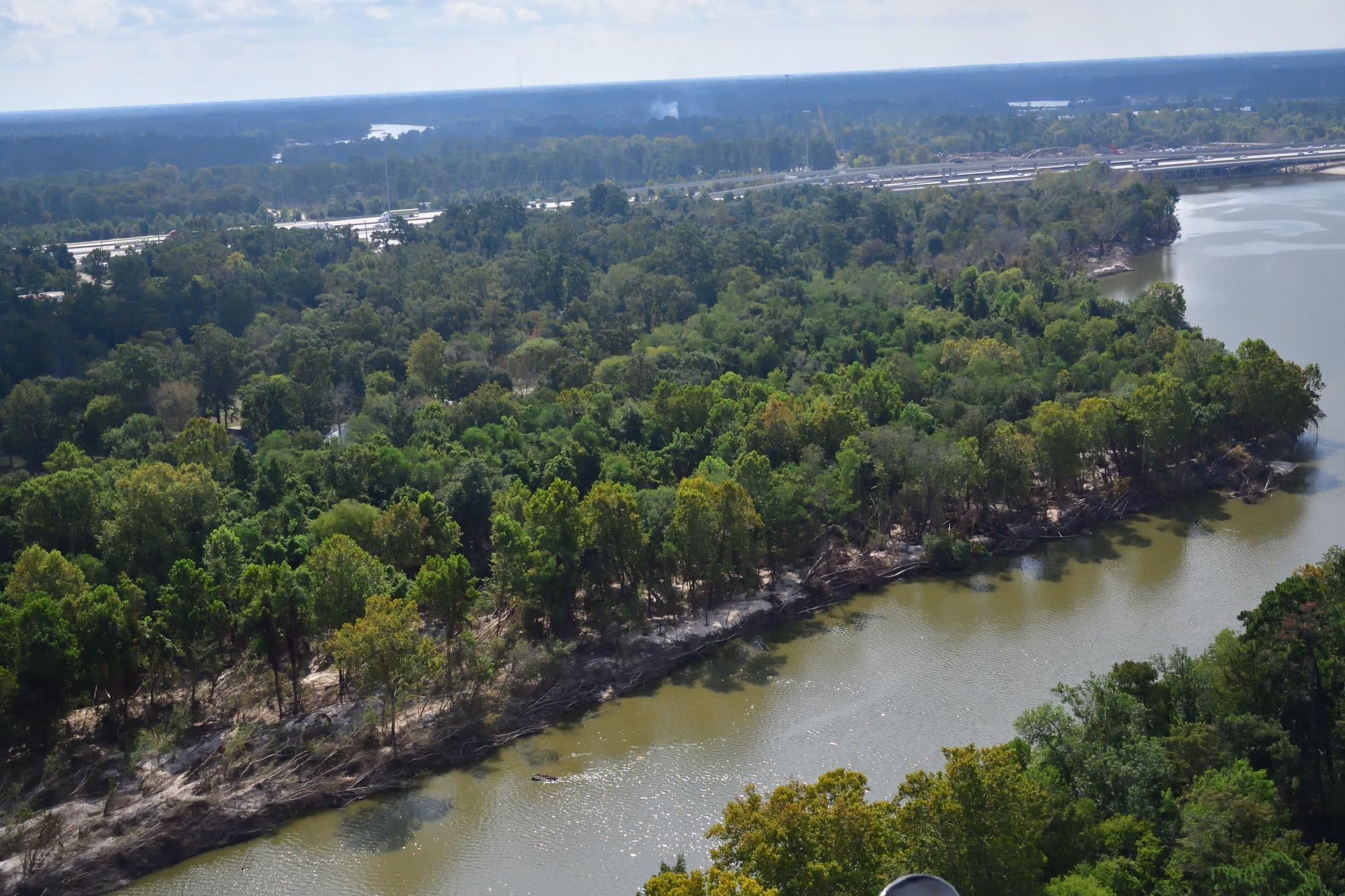
West fork of the San Jacinto below the sand mines. Looking downstream toward US59. Note several feet of sand deposited on the shore by Hurricane Harvey.

Share this entry
  • Share on Facebook
  • Share on X
  • Share on Pinterest
  • Share on LinkedIn
  • Share on Tumblr
  • Share on Vk
  • Share on Reddit
  • Share by Mail
0 0 admin admin2018-06-24 01:26:092018-06-19 07:26:38Photo of the Day 87
Link to: Do Local Sand Mines Follow Best Management Practices? Link to: Do Local Sand Mines Follow Best Management Practices? Do Local Sand Mines Follow Best Management Practices? Link to: Photo of the Day 88 Link to: Photo of the Day 88 Photo of the Day 88
Scroll to top Scroll to top Scroll to top