How Sediment-Induced Loss of River Conveyance Increases Flood Risk
4/10/26 – Sediment buildups reduce river conveyance everywhere. But sedimentation is especially threatening in the Lake Houston Area because:
- It creates hydraulic chokepoints that increase flood risk next to major commercial and population centers
- Industrial-scale sand mining upstream accelerates erosion
- The design of the Lake Houston Spillway doesn’t facilitate sediment discharge.
- Lake Houston provides water for millions of people and loss of storage capacity is critical
Consequences of Sedimentation
This combination of factors is not unique, but it is unusual in its magnitude and consequences. Here’s why.

There is no way to remove sediment from Lake Houston except by dredging. Texas Water Development Board studies show that the lake has lost about 20% of its original storage capacity.
But the total storage loss is not the only issue; also consider where the loss is. Most sediment concentrates in the headwaters of the lake upstream from the FM1960 causeway where the river slows down as it meets a standing body of water.
Deceleration causes sediment to drop out of suspension. A delta has formed at this location, creating a hydraulic chokepoint that backs water up.
The Army Corps dredged approximately 2.1 million cubic yards from the area above FM1960.

Subsequently, the City of Houston commissioned Callan Marine for a separate dredging effort to address additional buildups in Lake Houston’s headwaters.

We have seen what happens when we ignore sediment buildups. Thousands of people can lose homes and businesses in a major flood.
Need for Ongoing Sediment Removal and Preservation
The SJRA has studied sedimentation and sand traps for years to help control such buildups. But they have yet to implement any solutions.
Thankfully, a bill by State Representative Charles Cunningham created a Lake Houston Dredging and Maintenance District during the 2025 legislature. That should help manage sediment buildups in the future before they become critical.
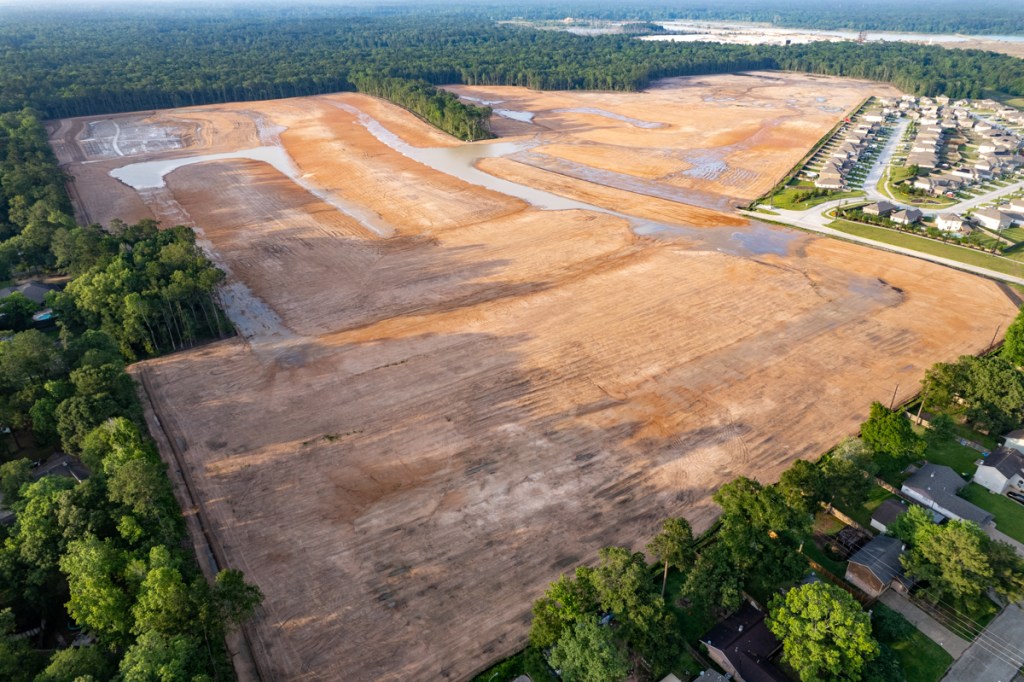
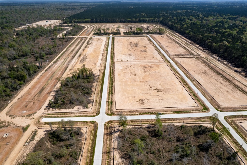
But it’s no excuse to ignore things that contribute to excessive sedimentation. Those include failure to observe best management practices in mining and construction. They also include loss of riparian buffers and forests.

The area above borders 20-square miles of West Fork sand mines.

The loss of forests and riparian buffers leads to a triple whammy in terms of sedimentation. It increases the natural rate of erosion. It costs taxpayers hundreds of millions of dollars to remove it. And until they do, it increases flood risk.
As sand production on the West Fork winds down, now is the perfect time to discuss creating a Montgomery County Lake District or a new state park in this area. It could turn into a win/win for upstream and downstream interests.
For More Information
For more about the causes of flooding and how they can compound each other in the Lake Houston Area, see the Lessons Page.
Posted by Bob Rehak on 4/10/26
3146 Days since Harvey
The thoughts expressed in this post represent opinions on matters of public concern and safety. They are protected by the First Amendment of the US Constitution and the Anti-SLAPP Statute of the Great State of Texas.