Floodplain Maps for 5,316 Acres West of Kingwood Contradict Developer’s Claim
11/4/2025 – FEMA floodplain maps contradict a claim made by Scarborough Development/San Jacinto Preserve in a presentation made to the City of Houston and Harris County officials on 10/29/25.
The developer recently bought 5,316 acres, mostly in the floodplains and floodways of Spring and Cypress Creeks, and the San Jacinto West Fork. The land lies in both Montgomery County and the City of Houston’s extra territorial jurisdiction. The developer also wants to build a bridge into Harris County.
In documents obtained from the City of Houston, the developer claimed it would only be “developing land at or above the Atlas 14 100-year floodplain.” See copy in red box below.

However, superimposing their development plan on FEMA’s current floodplain maps developed before Atlas 14 contradicts that claim. Why?
The extent of proposed development matches the limits of pre-, not post-, Atlas 14 100-year floodplains.
Net: developing in this area is more dangerous than it may look. 500-year floodplains could soon become 100-year floodplains.
For more detail, see the discussion of Atlas-14’s history and the sequence of maps below.
A Brief History of Atlas 14
FEMA’s current floodplain maps for this area date to 2014, four years BEFORE the start of Atlas 14 in Texas. And to my knowledge, FEMA has not yet released new flood maps based on Atlas 14 for this region.

NOAA began updating rainfall precipitation frequency estimates in 2004; they called the effort “Atlas 14.” But NOAA didn’t update Texas statistics until 2018. Such rainfall estimates form the basis for flood maps.
In Montgomery County (MoCo), pre/post estimates for the standard 100-year/24-hour rainfall varied by more than a third. MoCo adopted Atlas 14 values of ~16.1 inches for the 24-hr, 1% storm (at Conroe), up from the previous standard of ~12 inches. That’s an increase of 4.1 inches or 34%.
Just as important, until earlier this year, MoCo drainage regulations often let developers avoid building stormwater detention basins that would offset that additional rainfall.
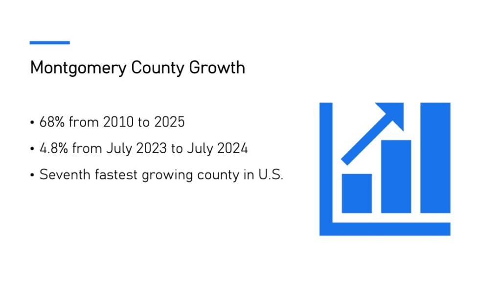
Also consider that Montgomery County has been one of the fastest growing counties in the region and in America. Its population has grown by almost a third (31%) since 2018. That population growth comes with a growth of impervious cover (roofs, driveways, streets, parking lots, etc.) that doesn’t soak up rainfall.
I’m not aware of any recent studies that show the cumulative impact of additional rainfall and impervious cover together with a deficit of detention.
Given those issues, common sense says flood elevations would increase. And in fact, preliminary guidance from Harris County indicates that floodplains will expand by 50% to 100% when FEMA releases updated flood maps based on Atlas 14.
New Plans Show Development Extending to Old 100-Year Floodplain
When I first saw the developer’s new plans, the plans didn’t seem to match the claim that they would only develop land “at or above the Atlas 14 100-year floodplain.” That made me suspicious. So, I performed an experiment.
I superimposed the developer’s plans over FEMA’s current (pre-Atlas 14) map dated 2014. I then varied the opacity of the layers in Adobe Photoshop so I could see how the two matched up. Long story short, they matched perfectly. See the sequence of images below.

Next, I superimposed the development plan that Scarborough presented to City of Houston and Harris County.

Then, I varied the opacity of the development plan until you could see the floodplains behind it.

Enlargement clearly shows that development stops at the old, pre-Atlas-14, 100-year floodplain.

New maps reflecting higher rainfall rates and more impervious cover will likely show those white lines cutting well into the brown so-called developable areas, if not eliminating some altogether.
Where Did Developer’s Claim Come From?
So, where did the developer’s Atlas 14 claim come from? I have talked to three people who were in the meeting. Not one could tell me with certainty. They all expressed reservations and doubts about it.
I have also reached out to Scarborough several times to understand their position, but they have yet to return phone calls or emails.
So, I’m going to remain skeptical until I see proof of their claim and FEMA’s new Atlas 14 maps. FEMA may release them in 2026. But the proposed maps will then go through public comment and revision cycles. That could mean they won’t become official for at least another three years.
Make This An Election Issue
In my opinion, the best use for this property would be to turn it into a state park. That would help protect areas both up and downstream. With an election coming up next year, our representatives will have their ears to the ground. The time to start a letter-writing campaign is now. Contact all candidates.
Turn this into an election issue.
Make sure we elect someone who is more interested in protecting public safety than private profits.
Posted by Bob Rehak on 11/4/25
2989 Days since Hurricane Harvey
The thoughts expressed in this post represent opinions on matters of public concern and safety. They are protected by the First Amendment of the US Constitution and the Anti-SLAPP Statute of the Great State of Texas.