Bewildering Size of Areas under Diversion-Ditch Bridges
9/12/24 – You would think that as more water flows into a ditch, the area under bridges would get larger. But Chris Bloch, a retired Kingwood engineer with an eye for details that affect flooding, made some startling discoveries recently about the areas under four bridges over the Kingwood Diversion Ditch.
Flow areas under two bridges get smaller as you go downstream and flow volume increases.
They constrict flow 30-40% compared to the Kingwood Drive Bridge.
This helps explain flooding problems adjacent to the ditch, he says. Another engineer I interviewed for this article expressed shock. He said, “That can’t be. It’s bewildering.”
One of Two Most Important Projects in Kingwood
Harris County Flood Control District ranked flood-mitigation along the Diversion Ditch as one of the two most important projects in Kingwood.
The Kingwood Diversion Ditch branches off Bens Branch just north of Northpark Drive by Flowers of Kingwood. Bridges span the ditch in four places: Northpark Drive, Kingwood Drive, Walnut Lane and Deer Springs.
The ditch runs north to south and helps drain the western third of Kingwood. It crosses under Kingwood Drive by the Fire Station. It then continues south to Deer Ridge Park, before turning and outfalling into the San Jacinto West Fork at River Grove Park. See the map below.

Not only does the Diversion Ditch carry a percentage of the water from Bens Bench, it also drains streets in several subdivisions along its way to the river.
More and more stormwater empties into it as you move south. But look at the square footage of the areas under the bridges.
| Bridge | Opening in SqFt |
| Northpark | 720.8 |
| Kingwood Drive | 1,136.5 |
| Walnut Lane | 809.7 |
| Deer Springs | 689.0 |
Flow area is the size of the opening under the bridge available to convey floodwater without it coming up over the bridge deck.
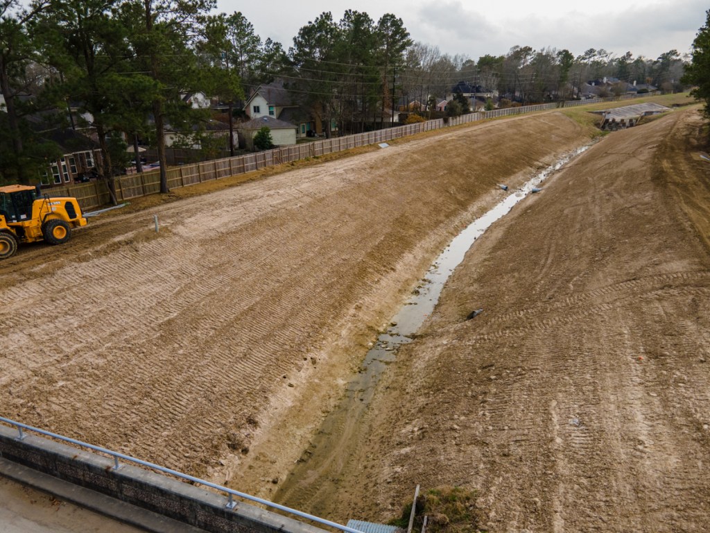
Pictures of Bridges from Upstream to Down
Here’s what the bridges look like starting upstream, in the same order as the table above. I took all these photos on 9/11/24.
To calculate the square footages, Bloch took physical measurements of depth every two feet from one side of each bridge to the other.


No wonder many homes and businesses have flooded from the Diversion Ditch!
Flow Area vs. Flow Rates
Of course, flow areas don’t tell the total story, just a large portion of it. Engineers also consider flow rates. But calculating flow rates is more difficult than calculating flow areas.
When water backs up behind a bridge, it can increase pressure which forces more water under, over and around the bridge…faster. Think of spray from a garden hose when you pinch the nozzle with your thumb.
Two problems though:
- Water is still backing up to some degree.
- The higher pressure causes jetting under the bridge that increases erosion.
For a spectacular example of the damage that jetting can do, look at the Tree Lane Bridge over Bens Branch, slightly east of the Diversion Ditch.


Engineers perform miracles for us everyday. But sometimes, even their best efforts are no match for Mother Nature when she straps on her Stetson and six shooters. That’s why careful planning, generous safety margins, and coordination between upstream and downstream interests are so crucial.
With some of the fastest growth in the region just upstream from Kingwood, we must plan for ever-increasing volumes of water coming downstream.
Posted by Bob Rehak and Chris Bloch on 6/12/23
2571 Days since Hurricane Harvey
The thoughts expressed in this post represent opinions on matters of public concern and safety. They are protected by the First Amendment of the US Constitution and the Anti-SLAPP Statute of the Great State of Texas.