Flash Flooding Chances Increase for Tuesday, Wednesday
6/16/24 – 8 PM update – As of 8 PM, the National Hurricane Center has increased the chances of tropical formation to 70% from 50% for the disturbance in the Bay of Campeche.
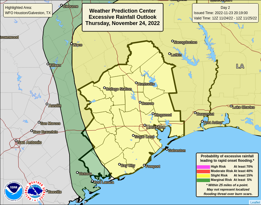
Excessive rainfall and flash flooding chances are increasing for the middle part of the week. Coastal counties could see 8-11 inches in widespread areas with isolated totals topping 12 inches.
According to Harris County Meteorologist Jeff Lindner:
- The I-10 corridor could experience 5-8 inches (widespread) with isolated totals up to 10 inches
- North of I-10, people will see 3-5 inches (widespread) with isolated totals up to 8 inches.
- Much of the rainfall will come over a 36-48 hour period (Tuesday and Wednesday).

All of this rain is in association with a tropical disturbance in the Bay of Campeche.

Whether the storm gets a name or not, it will impact the Houston area in several ways.
Forecasts have been trending upward with rainfall amounts over the last 24 hours. Given the incoming tropical moisture combined with the potential for cell training and high hourly rainfall rates, flash flooding is becoming an increasing concern.
Sustained heavy rains will be possible from Tuesday afternoon into Wednesday over the area.
High hourly rainfall rates will result in rapid onset flash flooding.
Jeff Lindner, Harris County Meteorologist
Uncertainty remains as to where any sustained banding features will form and how far inland the heavy rainfall threat may extend. Stay tuned for changes to the forecast.
Last week, NWS was predicting far less rain from this system.
Significant Rises Likely on Waterways
Significant rises on area creeks, bayous, and rivers will be likely given the rainfall forecast. Where maximum totals occur, overbank flooding will be possible on creeks and bayous. Rivers which are still elevated from the spring rainfall will also likely see additional rises. However, flooding will depend on the position, magnitude, and coverage of the heavier rains and the inland extent.
Lake Conroe Being Lowered
In preparation, the San Jacinto River Authority continues to lower Lake Conroe. On Sunday morning, it was at 200.82 feet, several inches below its normal level of 201 feet. At 10 AM, SJRA was discharging 660 cubic feet per second.
Lake Houston Discharge Rate Jumps 7X
Downriver, the Coastal Water Authority increased the discharge rate from Lake Houston. The rate jumped from 1386 CFS to 9,905 CFS between 5 AM and 7 AM this morning.

Gusty Winds, Coastal Flooding, Dangerous Seas
As the much-advertised tropical weather event unfolds over the western Gulf of Mexico in the next 24 hours, Lindner anticipates increasing impacts, especially along the Texas Coast.
The plume of tropical moisture will arrive late tonight into Monday. Scattered showers will begin to work toward the coast tonight. Even greater moisture will flow inland Tuesday and Wednesday.
Banding thunderstorms and cell training will create potential for flash flooding. Models have trended upwards in the last 24 hours. The National Weather Service has given all areas south of I-10 a level 3 out of 4 flash flood risk from Tuesday morning to Wednesday morning.
Wind Forecast
According to Lindner, winds will begin to increase on Monday, but really ramp up Tuesday into Wednesday. Coastal areas will likely experience frequent gusts to gale force.
- Coastal waters: 35-45mph
- Coastal counties: 25-40mph
- Inland: 25-30mph
Coastal Flooding Likely Mid-Week During High Tides
Lindner expects building seas and elevated tides to exceed coastal flood thresholds along the upper Texas coast, especially Tuesday and Wednesday. Total water levels are forecasted to reach 4.5-5.5 feet above barnacle level along the Gulf facing beaches late Tuesday into Wednesday and 4.0-5.0 feet in Galveston Bay.
Minor coastal flooding is likely late Tuesday into Wednesday in the usual low lying coastal areas (Bolivar, west end of Galveston Island, Blue Water Highway, Tiki Island, San Leon, Seabrook, Shoreacres).
Water and debris may cover portions of HWY 87 near HWY 124 on Bolivar at high tide. Low lying coastal roads will likely be impacted and covered with sea water at times of high tide.
10-12 Foot Seas
Lindner also warns that extreme dangerous/hazardous marine conditions will develop across all waters Tuesday into Wednesday. Seas will build 5-9 feet on Tuesday offshore and 4-6 feet in bays. Then they will build 10-12 feet on Wednesday offshore and 5-7 feet in bays.
Sustained winds of 30-40mph with frequent gusts of 45mph will be common across our local waters. Expect frequent squalls and periods of heavy rainfall and reduced visibility. Small craft should be secured in port by late Monday and remain in port until conditions improve.
Posted by Bob Rehak on 6/16/24 based on information from Jeff Lindner, Harris County Meteorologist, and NWS
2483 Days since Hurricane Harvey