Surveyors Staking Out Property on WLHP in New Floodway
3/25/26 – On 3/24/26, I photographed partially cleared property owned by HS Tejas LTD on West Lake Houston Parkway (WLHP) between the Kingwood YMCA and Kings Harbor.

According to Dustin Hodges, Chief of Staff for District E City Council Member Fred Flickinger, the City has received no permit applications for developing the property yet.

To be clear, an owner does not need a permit to survey his property. But the survey may be required as preparation for:
- Subdividing land/plat approval
- Developing in floodplains
- Title companies or lenders
So, this is an early sign that something could soon happen with the property. However, it’s not yet clear what HS Tejas plans.
Who Is HS Tejas?
HS Tejas is a company owned in part by Kingwood developer Ron Holley. Holley sold floodplain/floodway property on South Woodland Hills to a company affiliated with Romerica back in 2012. Since then, Romerica has tried repeatedly to develop the property with little luck using various concepts including:
Currently, Holley is also trying to develop Royal Shores Estates in the floodway and floodplain of the San Jacinto East Fork south of Kings Point.
Shifting Floodplain Maps
New flood maps show the floodway has expanded and now encompasses virtually all of Holley’s property. From a flooding perspective, a floodway is more hazardous than a floodplain because of the speed of water. To see how large the floodway has grown, compare the two images below.
Current:
FEMA’s current, effective flood map (dated 2007) shows most of Holley’s property is in a floodplain, not the floodway.

Updated Draft Map Based on Atlas 14
See below how much the floodway has expanded.

Once the new draft maps become effective, Holley will have a much harder time developing the property because of restrictions on building in floodways. So, the impending map change may have something to do with the surveying.
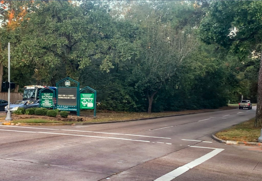
Pictures Showing Recent Activity
Below are several pictures taken on 3/24/26 that show the partial clearing.


Putting Flood Risk Into Perspective
The areas shown above are about a half mile from the San Jacinto West Fork along Bens Branch.
As a result of Harvey flooding, 12 residents of Kingwood Village Estates died. KVE is an assisted living facility more than a half mile north (farther from the West Fork).
Moreover, ALL of the adjacent businesses, townhomes, apartments and homes flooded in:
- Kings Harbor
- Kingwood Greens
- Fosters Mill
- The Enclave
- Kings Crossing
- Kingwood Town Center
- Even Memorial Hermann’s brand new Convenient Care Center which had not opened yet
- Kingwood High School…to the second floor!
A floodway is not only defined by the speed of floodwaters. In Houston, the floodway is regulated as the portion of the floodplain required to convey the 100-year flood with no increase in water surface elevation. However, FEMA-mapped floodways may have been delineated assuming up to a 1-foot rise.
Developers cannot bring fill into a floodway. So, doing anything on this property will likely mean stilts, structural analyses, and more. Chapter 19 of the City’s floodplain regulations lays out the requirements.
Current activity is not visible from WLHP. So, please contact me if you hear or see anything.
Posted by Bob Rehak on 3/25/26
3130 Days since Hurricane Harvey
The thoughts expressed in this post represent opinions on matters of public concern and safety. They are protected by the First Amendment of the US Constitution and the Anti-SLAPP Statute of the Great State of Texas.