Cindy’s Redbud Nature Preserve: Restoring Life Out of Balance
3/16/25 – The Bayou Land Conservancy recently hosted a gathering at which Ray Audas of Montgomery gave an inspiring talk. Audas discussed his family’s efforts to preserve their land – Cindy’s Redbud Nature Preserve – in a natural state.
A few days later, I attended another meeting. There, a developer talked about building a luxury resort with a Fairmont Hotel among wetlands in a floodplain of the San Jacinto West Fork.
Life Out of Balance
The contrast could not have been greater. It reminded me of a brilliant 1982 documentary called Koyaanisqatsi. Godfrey Reggio directed the film. And Phillip Glass scored it.
The 90-minute film has not one word of dialog or narration. Yet it remains one of the most powerful, memorable, thought-provoking films I have ever seen in my life. See the trailer here.
Koyaanisqatsi includes two types of footage. It begins with long, languorous, pristine shots of undisturbed nature. They gradually transition to frenetic, fast-paced shots of a world devoid of nature. The editing is masterful. The film’s title comes from Hopi words that mean, “Life out of balance.”
As someone who researches and writes about flooding every day, I have reached the inescapable conclusion that our lives have lost balance. As in the film, we are devouring nature. And the loss is fundamentally changing us and our future safety.
Cindy’s Redbud Nature Preserve
That’s why I admire what Ray Audas, his wife Cindy Martin, and the Bayou Land Conservancy (BLC) are doing.

BLC’s motto: “We preserve land along streams for flood control, clean water, and wildlife.” Their tools: dedicated people armed with tenacity and conservation easements.
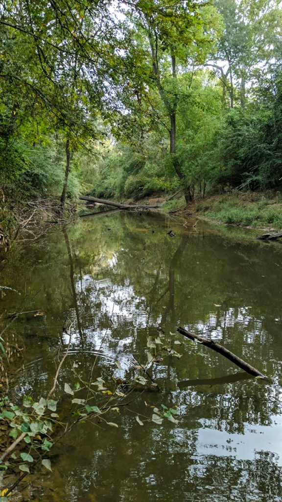
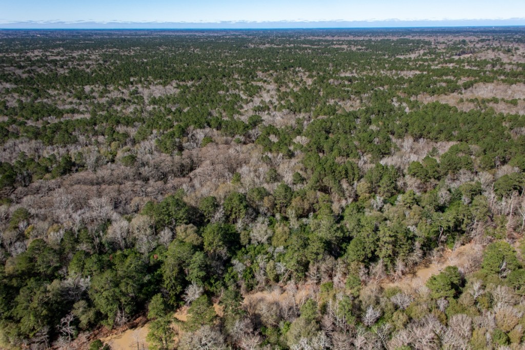
BLC announced the permanent protection of Cindy’s Redbud Nature Preserve last December. The 176-acre conservation area south of Montgomery, TX, comprises one of the last remaining vestiges of Texas tallgrass prairies.
“This vital land not only protects native species, but also provides essential benefits to local communities by supporting clean water, reducing flooding, and creating wildlife corridors in a rapidly developing area,” said BLC.
See more than a dozen pictures below, used with permission of the photographers.

Less Than 1% of Texas’ Tallgrass Prairies Remain
The landowner’s early roots go back to Texas’ first settlers. With less than 1% of Texas’ tallgrass prairie remaining, lands like Cindy’s Redbud Nature Preserve are more important than ever. As housing and commercial developments expand, the need to conserve natural spaces becomes critical to maintaining our region’s water quality.
This prairie serves as a buffer, filtering runoff and feeding the waterways that supply drinking water for millions across the Greater Houston area.

“This is about more than just saving land,” said Jill Boullion, Executive Director of Bayou Land Conservancy. “It’s about ensuring clean water, wildlife habitat, and a sustainable future for our community in the face of growing development pressures.”
As Audas spoke at the BLC meeting, he showed pictures of the 176 acres that he and his wife own. He talked about their special connection to the land; hunting and fishing with his wife’s father; and their struggles to preserve the land in its natural state.

He also talked about the endangered Texas windmill grass on his property; a rare species of falcon called the cara cara; acres of bluebells; a 50-page inventory of natural wonders on the property; and the 25,000 pictures of nature he and his wife have taken.

A naturalist from Texas Parks and Wildlife who visited the property said, “For this little bitty piece of property to have this type of diversity, it’s unbelievable.”

Below are six more photos of Cindy’s Preserve taken by BLC supporter Jeff Hodges.


And here are a couple taken by BLC employee Brooke Batchelor.


Help Wanted
Audas and Martin donated the conservation easement on their property. It is valued at $1.5 million. But the BLC could use help to protect the land and more properties like it.
Here’s how you can join the effort. And strike a blow for balance!
Posted by Bob Rehak on 3/16/25
2756 Days since Hurricane Harvey