
Slight Chance of Tropical Cyclone Formation in Gulf Next Week
A weak surface low pressure system may develop into a tropical system over the northern Gulf of Mexico early to mid next week. The National Hurricane Center estimates the chance of development over the next 5 days at 20%. Chances of formation for another disturbance in the Atlantic remain at 60%.

What’s behind this prediction? A front will push through Houston Monday morning. It will move into the northern Gulf of Mexico early next week and then stall.

AND it will stall over warm waters.
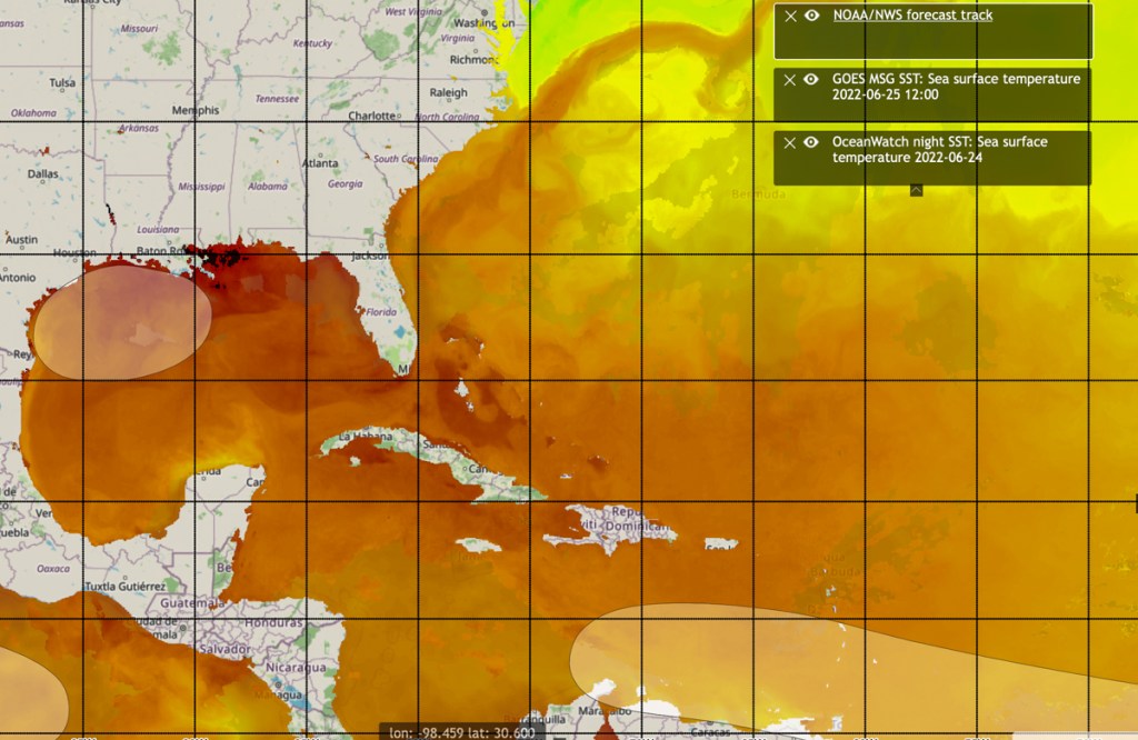
Currently, the sea surface temperature in Galveston is 87 degrees – 4 degrees above the average for this time of year.
The National Hurricane Center said that if the system does develop, “[It] would likely be slow to occur as it drifts westward toward the northwestern Gulf of Mexico.”
Rainfall Implications
According to Jeff Lindner, Harris County’s meteorologist, “Numerous showers and thunderstorms will accompany this frontal trough.”
This will bring increasing rain chances to Houston. And potentially alter rainfall accumulation forecasts. Depending on location, you could receive anywhere from a half inch to three inches, according to Space City Weather.
The National Weather Service (NWS) predicts the highest 7-day rainfall totals farther to the east. Our neighbors in Louisiana could see up to five inches.

At this time, NWS predicts NO flooding for next week. The drought has soil so dry that most rainfall should soak in. Our channels, creeks and bayous should handle any runoff.
Historical Curiosity
Here’s a historical curiosity. This morning, the NWS Houston/Galveston office noted some weather history on this day. “The first half of 1996 was extremely dry over all of Southeast Texas but heavy rains returned during the last week of June. On June 25th 1996, a swath of 2 to 4 inches of rain fell across the southern half of the region with Danevang recording 6.07 inches of rain and Houston Hobby Airport recording 3.30 inches of rain.”
Posted by Bob Rehak on 6/25/22
1761 Days after Hurricane Harvey

