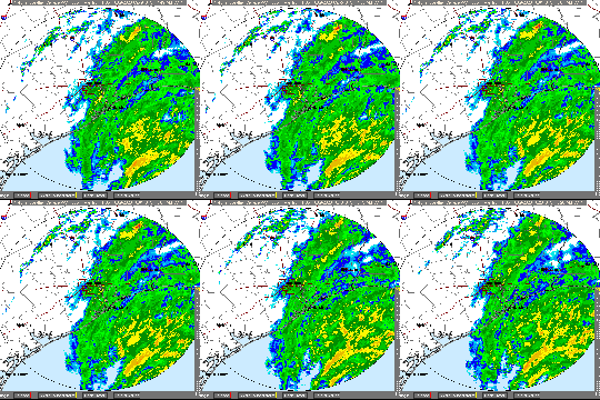
Where the Rain Fell
During last week’s major rain, the National Weather Service and others predicted that some of the heaviest rain would fall in the US59 corridor. In fact, it did…just not US59 North. A pocket of 6-8 inch rain hit Sugar Land, as you can see below.
Regional Rain Map From Last Storm

Two other pockets received 6-8 inches (red): The Woodlands and Huntsville. The vast majority of the area around Lake Houston received 4-5 inches (olive). Upstream from us, a small band through southern Montgomery County received 5-6 (orange). But upstream from Lake Conroe, the huge yellow area received only 3-4.
Diane Cooper, who sent this map to me, worked for the NWS for 20 years in various capacities including as a meteorologist, hydrologist and river forecaster. In predicting floods such as this, forecasters say, it’s important to look at rainfall upstream, not just your area.
How to Interpret
Reviewing such maps can help several ways. It can help predict peaks based on historical comparisons of rainfall. It can also help predict the timing of peaks, based on the distance high volumes have to travel.
In this case, Lake Creek and the East Fork, because of heavy rainfall upstream, prolonged the high water in our area.
You can zoom from the entire United States to your own property, and even switch backgrounds, or highlight streams, by turning layers on and off.
By zooming out, you can see the storm as it approaches. And by varying the length of the period searched, you can get an idea of how much rain has fallen in the last 14, 30, 60, 90 and 120 days. You can even narrow the search to 1 hour to determine current intensity.
Where to Find
You can find all this regional information on the National Weather Service web site here.
If you forget the link, it’s always available on the Links page of this web site under the Weather/Flood Related subhead and a listing called NWS Regional Rainfall for the last 24 hours.
The site offers hundreds of different ways to search through information as varied as river stages “forecast” and “observed”; stream flow amounts; temperature; wind; visibility; ship observations and more. It’s one of the more powerful and useful online tools I have ever seen.
Play with it and learn how it works before the next storm. It can help reduce anxiety by showing you exactly what you’re up against.

You can even see where the storm went after it left here. I’m just thankful I’m not one of those people buried under snow without power. Been there. Done that. Minnesota. January. It’s enough to make you a Texan.
Posted by Bob Rehak on December 10, 2018
468 Days since Hurricane Harvey


